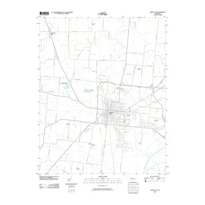
2010 Map of Union City
USGS Topo · Published 2010About this map
Union City stands as the primary hub of this Obion County landscape, shown at a time of established infrastructure and grid-pattern development. The town's layout is centered around vital civic markers like the Union City Post Office, while the surrounding countryside is defined by a dense network of family-named roads such as Arch Thompson Rd and George Moss Rd. This rural-urban mix reveals a deep local history preserved in numerous burial grounds, including East View Cemetery and Bethlehem Cemetery.
Find a feature on this map
67 named features on this map. Tap any name to fly to it.
Don’t see what you’re looking for? This feature index may not catch every label — zoom into the map to look around manually.
Map Details
Editions of this 2010 Union City Map
This is the sole edition of this map. No revisions or reprints were ever made.
Other maps of this area

1939 · Hickman
USGS Topo · 1:62,500

1950 · Obion
USGS Topo · 1:24,000

1950 · Rives
USGS Topo · 1:24,000

1951 · Obion
USGS Topo · 1:24,000

1951 · Rives
USGS Topo · 1:24,000

1951 · Cayce
USGS Topo · 1:24,000

1951 · Hickman
USGS Topo · 1:24,000

1952 · Crutchfield
USGS Topo · 1:24,000

1952 · Water Valley
USGS Topo · 1:62,500

1954 · Union City
USGS Topo · 1:24,000