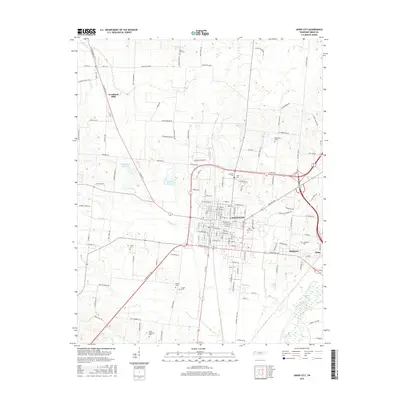
2016 Map of Union City
USGS Topo · Published 2016About this map
Union City serves as the focal point of this 2016 survey, showcasing a landscape where urban development meets the agricultural plains of Obion County. The map details the transition from the city's residential and commercial core to the surrounding rural reaches, including the small settlements of Woodland Mills and Highland. Waterways such as Hoosier Cr and N Reelfoot Cr drain the terrain toward the North Fork Obion River in the southeast corner.
Find a feature on this map
105 named features on this map. Tap any name to fly to it.
Don’t see what you’re looking for? This feature index may not catch every label — zoom into the map to look around manually.
Map Details
Editions of this 2016 Union City Map
This is the sole edition of this map. No revisions or reprints were ever made.
Other maps of this area

1939 · Hickman
USGS Topo · 1:62,500

1950 · Obion
USGS Topo · 1:24,000

1950 · Rives
USGS Topo · 1:24,000

1951 · Obion
USGS Topo · 1:24,000

1951 · Rives
USGS Topo · 1:24,000

1951 · Cayce
USGS Topo · 1:24,000

1951 · Hickman
USGS Topo · 1:24,000

1952 · Crutchfield
USGS Topo · 1:24,000

1952 · Water Valley
USGS Topo · 1:62,500

1954 · Union City
USGS Topo · 1:24,000