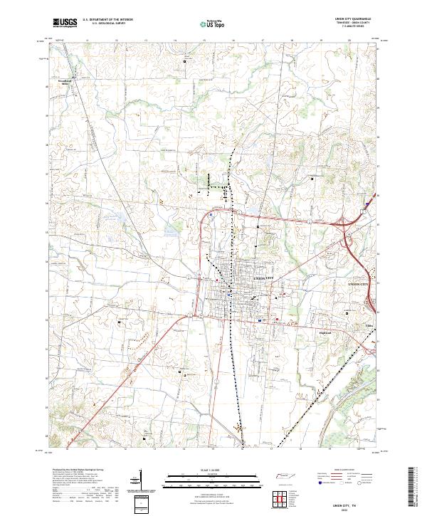
2022 Map of Union City
USGS Topo · Published 2022About this map
Union City serves as the focal point of this Northwest Tennessee landscape, dominated by the Obion County Courthouse and a dense network of residential streets. The urban center is surrounded by a rural hinterland defined by family-named roads and numerous small burial grounds, including the Unknown Confederate Soldier Cem and City View Cem. This layout reflects a typical southern county seat development, where civic life is concentrated in a primary township while smaller settlements like Woodland Mills and Highland maintain their own distinct identities on the periphery.
Find a feature on this map
158 named features on this map. Tap any name to fly to it.
Don’t see what you’re looking for? This feature index may not catch every label — zoom into the map to look around manually.
Map Details
Editions of this 2022 Union City Map
This is the sole edition of this map. No revisions or reprints were ever made.
Other maps of this area

1939 · Hickman
USGS Topo · 1:62,500

1950 · Obion
USGS Topo · 1:24,000

1950 · Rives
USGS Topo · 1:24,000

1951 · Obion
USGS Topo · 1:24,000

1951 · Rives
USGS Topo · 1:24,000

1951 · Cayce
USGS Topo · 1:24,000

1951 · Hickman
USGS Topo · 1:24,000

1952 · Crutchfield
USGS Topo · 1:24,000

1952 · Water Valley
USGS Topo · 1:62,500

1954 · Union City
USGS Topo · 1:24,000