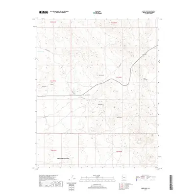
2018 Map of Union Pass
USGS Topo · Published 2018About this map
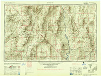
Bullhead City occupies the southwestern corner of this survey, where the urban footprint meets the high desert floor. The landscape is dominated by the dramatic uplift of the Black Mountains and notable landmarks such as Sugarloaf Mtn and Thumb Butte. A network of historic transportation routes crisscrosses the arid terrain, including the Old Kingman Hwy and the higher elevation transit through Union Pass. In an area defined by its hydrology, the ephemeral Katherine Wash and the presence of Secret Pass Spring provide essential markers in the desert geography. The map also captures local industrial legacy through names like Katherine Mine Rd, pointing to the region's mining history. The terrain transitions from the developed streets of the city to the expansive Mojave Desert, revealing how contemporary infrastructure navigates this ancient mountain pass.
Find a feature on this map
20 named features on this map. Tap any name to fly to it.
Don’t see what you’re looking for? This feature index may not catch every label — zoom into the map to look around manually.
Map Details
Editions of this 2018 Union Pass Map
This is the sole edition of this map. No revisions or reprints were ever made.
Other maps of this area
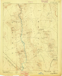
1886 · Camp Mohave
USGS Topo · 1:250,000
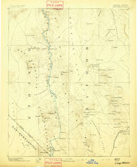
1892 · Camp Mohave
USGS Topo · 1:250,000
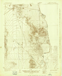
1926 · Mohave City
USGS Topo · 1:96,000
1942 · Camp Mohave
USGS Topo · 1:250,000

1947 · Kingman
USGS Topo · 1:250,000

1948 · Kingman
USGS Topo · 1:250,000
1950 · Davis Dam
USGS Topo · 1:62,500
1952 · Davis Dam
USGS Topo · 1:62,500
1954 · Kingman
USGS Topo · 1:250,000
1955 · Kingman
USGS Topo · 1:250,000