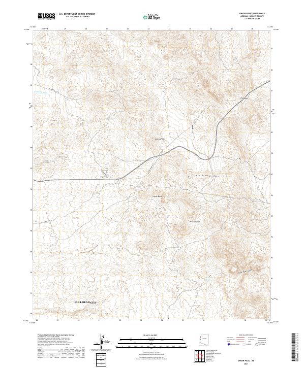
2021 Map of Union Pass
USGS Topo · Published 2021About this map
Bullhead City occupies the southwestern corner of this survey, representing a significant urban presence in the otherwise arid expanses of the Mojave Desert. The landscape is dominated by the high-relief terrain of the Black Mountains, which are bisected by Union Pass and characterized by prominent peaks like Sugarloaf Mtn and Thumb Butte. This region highlights the rugged transit corridors of northwestern Arizona, where historical routes like the Old Kingman Hwy and modern roads such as Gateway Dr wind through the mountain passes.
Find a feature on this map
20 named features on this map. Tap any name to fly to it.
Don’t see what you’re looking for? This feature index may not catch every label — zoom into the map to look around manually.
Map Details
Editions of this 2021 Union Pass Map
This is the sole edition of this map. No revisions or reprints were ever made.
Other maps of this area

1886 · Camp Mohave
USGS Topo · 1:250,000

1892 · Camp Mohave
USGS Topo · 1:250,000

1926 · Mohave City
USGS Topo · 1:96,000

1942 · Camp Mohave
USGS Topo · 1:250,000

1947 · Kingman
USGS Topo · 1:250,000

1948 · Kingman
USGS Topo · 1:250,000

1950 · Davis Dam
USGS Topo · 1:62,500

1952 · Davis Dam
USGS Topo · 1:62,500

1954 · Kingman
USGS Topo · 1:250,000

1955 · Kingman
USGS Topo · 1:250,000