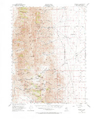
1954 Map of Unionville
USGS Topo · Published 1968About this map
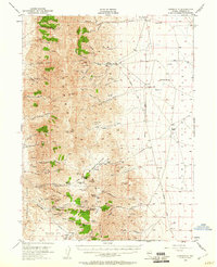
The Humboldt Range dominates this mid-century survey, revealing a landscape defined by Nevada's deep mining history. The settlement of Unionville serves as the primary hub, situated near the mouth of Buena Vista Creek, while the historic mining district of Rochester and Lower Rochester is depicted in detail along the southwestern slopes. The map traces the routes of the Old Emigrant Road and the Unionville Road as they navigate the basin of the Buena Vista Valley, connecting isolated outposts like the Strief Ranch and Coyote Ranch.
Find a feature on this map
88 named features on this map. Tap any name to fly to it.
Don’t see what you’re looking for? This feature index may not catch every label — zoom into the map to look around manually.
Map Details
Editions of this 1954 Unionville Map
3 editions found
Other maps of this area

1931 · Lovelock
USGS Topo · 1:250,000

1932 · Sonoma Range
USGS Topo · 1:250,000

1935 · Lovelock
USGS Topo · 1:250,000

1939 · Sonoma Range
USGS Topo · 1:250,000

1954 · Unionville
USGS Topo · 1:62,500

1954 · Buffalo Mtn
USGS Topo · 1:62,500

1955 · Lovelock
USGS Topo · 1:250,000

1955 · Winnemucca
USGS Topo · 1:250,000

1956 · Oreana
USGS Topo · 1:62,500

1956 · Imlay
USGS Topo · 1:62,500