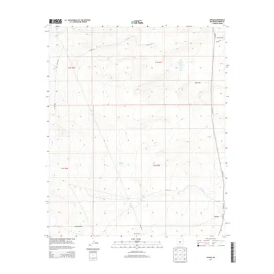
2013 Map of Upham
USGS Topo · Published 2013About this map
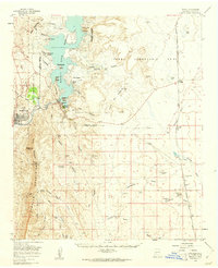
Upham sits at the intersection of desert infrastructure and natural drainage in this Sierra County landscape. The settlement is defined by the proximity of Co Road A013 and Co Road A22, which navigate a terrain carved by seasonal waterways. These intermittent flows have shaped local geography, notably at Aleman Draw and Yoast Draw in the northeast, and Barbee Draw to the south.
Find a feature on this map
24 named features on this map. Tap any name to fly to it.
Don’t see what you’re looking for? This feature index may not catch every label — zoom into the map to look around manually.
Map Details
Editions of this 2013 Upham Map
This is the sole edition of this map. No revisions or reprints were ever made.
Other maps of this area
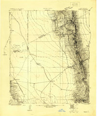
1916 · Tonuco
USGS Topo · 1:125,000
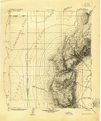
1916 · Salinas Peak
USGS Topo · 1:125,000
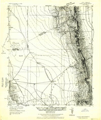
1932 · Tonuco
USGS Topo · 1:125,000
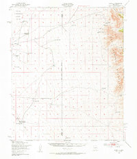
1948 · Sowell
USGS Topo · 1:62,500
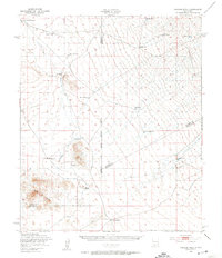
1948 · Chicken Well
USGS Topo · 1:62,500

1954 · Tularosa
USGS Topo · 1:250,000
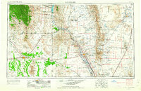
1955 · Las Cruces
USGS Topo · 1:250,000
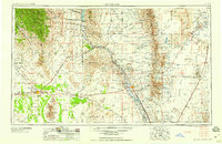
1958 · Las Cruces
USGS Topo · 1:250,000

1958 · Tularosa
USGS Topo · 1:250,000
1959 · Engle
USGS Topo · 1:62,500