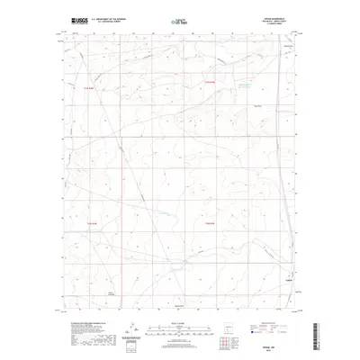
2020 Map of Upham
USGS Topo · Published 2020About this map
Upham serves as a lone point of reference in this arid region of Sierra County, where the landscape is defined by drainage patterns and essential water infrastructure. The territory is marked by several seasonal watercourses including Aleman Draw, Yoast Draw, and Barbee Draw, which are critical features for navigating this high-elevation terrain. Man-made water catchments like Rabbit Tank, Miller Tank, and Highline Tank indicate the region's reliance on managed water resources for livestock and land management.
Find a feature on this map
25 named features on this map. Tap any name to fly to it.
Don’t see what you’re looking for? This feature index may not catch every label — zoom into the map to look around manually.
Map Details
Editions of this 2020 Upham Map
This is the sole edition of this map. No revisions or reprints were ever made.
Other maps of this area

1916 · Tonuco
USGS Topo · 1:125,000

1916 · Salinas Peak
USGS Topo · 1:125,000

1932 · Tonuco
USGS Topo · 1:125,000

1948 · Sowell
USGS Topo · 1:62,500

1948 · Chicken Well
USGS Topo · 1:62,500

1954 · Tularosa
USGS Topo · 1:250,000

1955 · Las Cruces
USGS Topo · 1:250,000

1958 · Las Cruces
USGS Topo · 1:250,000

1958 · Tularosa
USGS Topo · 1:250,000

1959 · Engle
USGS Topo · 1:62,500