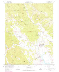
2022 Map of Upper Lake
USGS Topo · Published 2022About this map
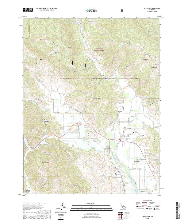
Upper Lake sits at the nexus of several fertile valleys in Lake County, serving as a gateway to the southern reaches of the Mendocino National Forest. The landscape is defined by the convergence of the Middle Creek Valley and Bachelor Valley, where numerous drainages like Scotts Creek and Clover Creek flow toward Tule Lake and the Rodman Slough. To the west, the notable springs at Saratoga Springs mark the transition into the rugged Mayacmas Mountains, while to the east, landmarks like Bloody Island carry significant local historical weight. This survey documents the extensive road network of the 2020s, including Elk Mountain Road and Witter Springs Road, providing a modern spatial context for the area's agricultural valleys and the cemeteries such as Upper Lake Cemetery and Robinson Cemetery that anchor the local community.
Find a feature on this map
103 named features on this map. Tap any name to fly to it.
Don’t see what you’re looking for? This feature index may not catch every label — zoom into the map to look around manually.
Map Details
Editions of this 2022 Upper Lake Map
This is the sole edition of this map. No revisions or reprints were ever made.
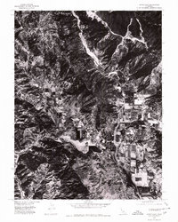
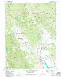
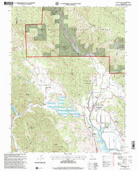
Historical Maps of Upper Lake Through Time
5 maps found