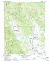
1991 Map of Upper Lake
USGS Topo · Published 1995About this map
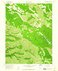
Upper Lake (Pomo) Rancheria and Robinson Rancheria are central landmarks in this northern California valley landscape, where the flatlands of Tule Lake meet the rising slopes of the Mendocino National Forest. The map documents a complex cultural and historical layer, including the Bloody Island Massacre Historical Marker near Bloody Island and the Witter Springs P O hub. To the west, the resort history of the region is evident at Saratoga Springs, while the institutional life of the valley is anchored by Union High Sch and the Glen Eden Sch. High points like Hunter Point Lookout and Sleeper Peak overlook the drainage systems of Middle Creek and Bachelor Creek, showing a landscape defined by the transition from agricultural valley floor to protected timberlands.
Find a feature on this map
68 named features on this map. Tap any name to fly to it.
Don’t see what you’re looking for? This feature index may not catch every label — zoom into the map to look around manually.
Map Details
Editions of this 1991 Upper Lake Map
This is the sole edition of this map. No revisions or reprints were ever made.
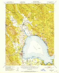
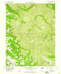
Other maps of this area

1920 · Ukiah
USGS Topo · 1:62,500

1922 · Hullville
USGS Topo · 1:62,500

1938 · Lakeport
USGS Topo · 1:62,500

1943 · Pomo
USGS Topo · 1:62,500

1944 · Ukiah
USGS Topo · 1:62,500
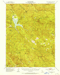
1951 · Lake Pillsbury
USGS Topo · 1:62,500
1951 · Lakeport
USGS Topo · 1:62,500

1957 · Ukiah
USGS Topo · 1:250,000
1958 · Purdys Gardens
USGS Topo · 1:24,000
1958 · Cow Mountain
USGS Topo · 1:24,000