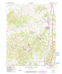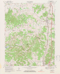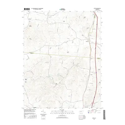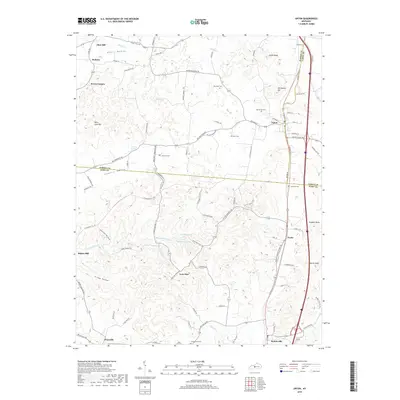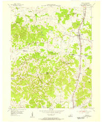
1954 Map of Upton
USGS Topo · Published 1955About this map
Upton sits at the junction of Hardin and LaRue counties, centered along the Louisville and Nashville rail corridor in the mid-1950s. The landscape is defined by the transition between the agricultural flats of Copelin Valley and the intricate karst topography to the south, where numerous springs such as Blue Hole Spring and Round Stone Spring emerge. This era captures a rural Kentucky network of small settlements and family hubs, from Melrose in the northwest to Bonnieville in the south.
Find a feature on this map
44 named features on this map. Tap any name to fly to it.
Don’t see what you’re looking for? This feature index may not catch every label — zoom into the map to look around manually.
Map Details
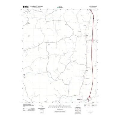
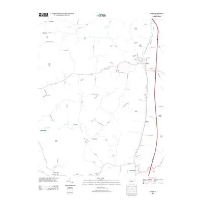
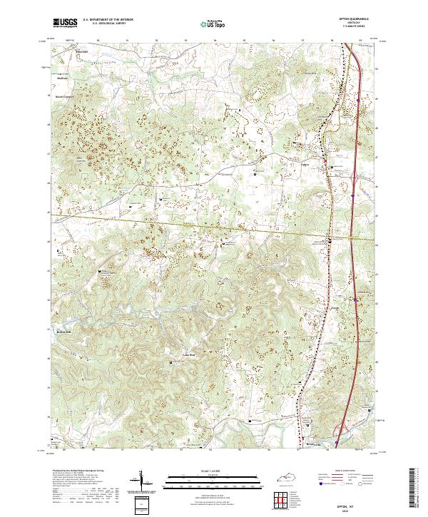
Editions of this 1954 Upton Map
This is the sole edition of this map. No revisions or reprints were ever made.
Historical Maps of Bonnieville Through Time
8 maps found