Loading...
Loading map...2022 Map of Utopia
USGS Topo · Published 2022About this map
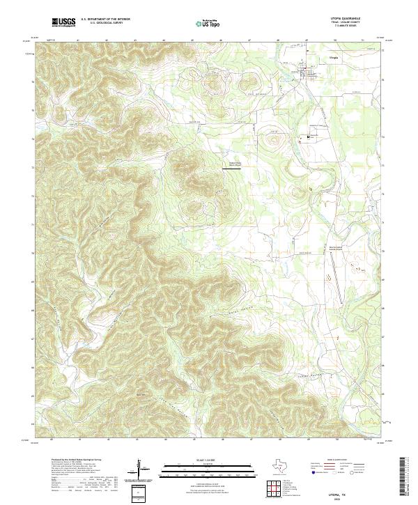
Utopia lies along the banks of the Sabinal River in this 2022 survey, showcasing the enduring layout of this Hill Country community. The town center is defined by a traditional grid including Main St, Broadway, and Cypress St, while the nearby Utopia Park Lake serves as a local focal point. To the south, the Waresville Cem on Wanesville Cemetery Rd preserves the history of the area's early settlement era.
Find a feature on this map
47 named features on this map. Tap any name to fly to it.
Don’t see what you’re looking for? This feature index may not catch every label — zoom into the map to look around manually.
Map Details
Date Portrayed2022
Date Published2022
PublisherU.S. Geological Survey
Map TypeTopographic
Scale1:24000
Physical Dimensions24 x 29 inches
Editions of this 2022 Utopia Map
This is the sole edition of this map. No revisions or reprints were ever made.
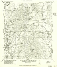
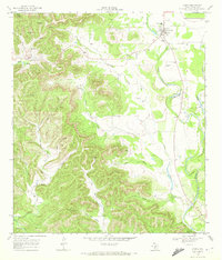
Historical Maps of Utopia Through Time
Featured Locations
Source Details
SourceU.S. Geological Survey
CopyrightPublic Domain