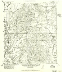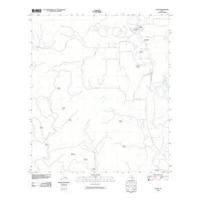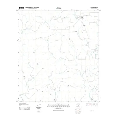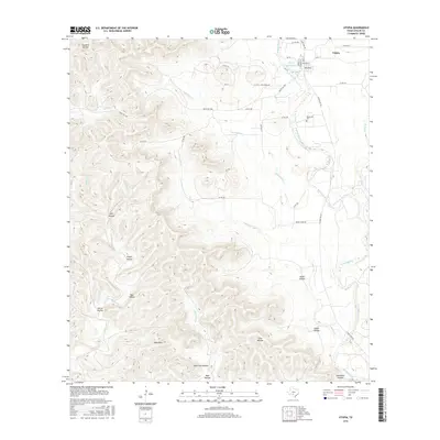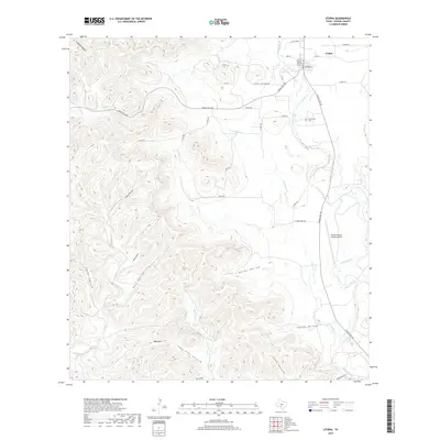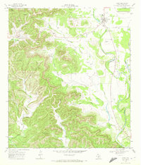
1969 Map of Utopia
USGS Topo · Published 1972About this map
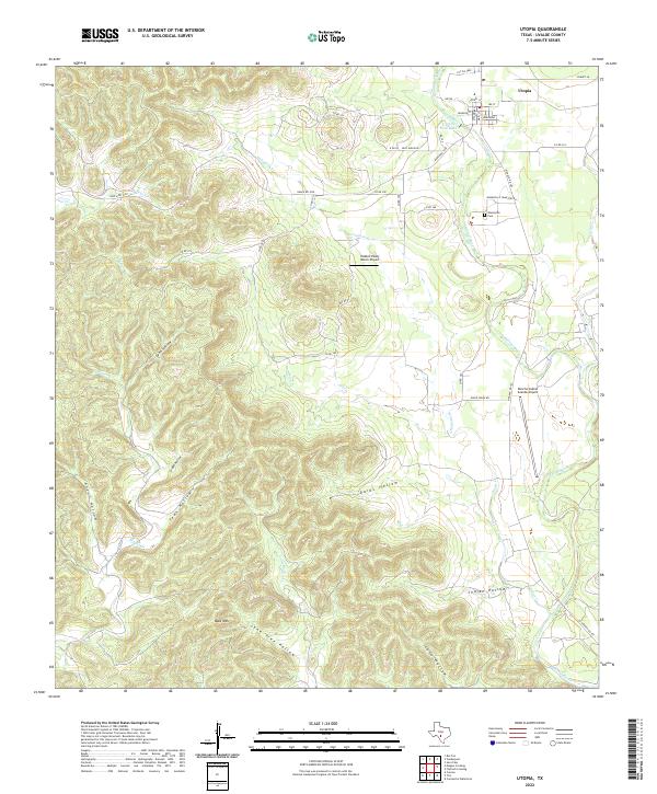
The Sabinal River winds through this Hill Country landscape, framing the small settlement of Utopia and the nearby historic site of Waresville. In the late 1960s, this area retained its pastoral character, defined by a complex network of seasonal drainages and namesake topographical features. Notable genealogists will find the Waresville Cem and the High Sch at Utopia, while the western reaches are dominated by significant elevations such as Bald Mountain and the deep cuts of Lynn Hollow, Grape Hollow, and Anton Hollow.
Find a feature on this map
30 named features on this map. Tap any name to fly to it.
Don’t see what you’re looking for? This feature index may not catch every label — zoom into the map to look around manually.
Map Details
Editions of this 1969 Utopia Map
This is the sole edition of this map. No revisions or reprints were ever made.
Historical Maps of Utopia Through Time
7 maps found