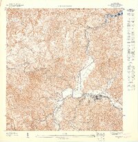
1947 Map of Utuado SO
USGS Topo · Published 1947About this map
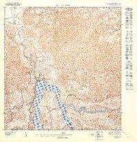
Utuado serves as the focal point of this 1:10,000 scale survey, which illustrates the confluence of several major waterways in the central highlands. The settlement is situated where the Río Viví joins the Río Grande de Arecibo, a location that historically dictated the development of the region's infrastructure and agricultural footprint. To the north, the map reveals the southern tip of Lago Dos Bocas, a significant reservoir formed by damming these river systems. The dense contour lines across the Bosque Insular de Guajataca and surrounding districts like Arenas and Guaonico highlight the sharp elevation changes characteristic of this terrain. This high-resolution study, based on topography from 1943, provides a detailed look at the rural roads and building placements that defined the municipality's core before late-twentieth-century expansions.
Find a feature on this map
11 named features on this map. Tap any name to fly to it.
Don’t see what you’re looking for? This feature index may not catch every label — zoom into the map to look around manually.
Map Details
Editions of this 1947 Utuado SO Map
This is the sole edition of this map. No revisions or reprints were ever made.
Other maps of this area

1943 · Utuado NE
USGS Topo · 1:10,000

1946 · Utuado
USGS Topo · 1:30,000

1946 · Bayaney
USGS Topo · 1:30,000

1946 · Monte Guilarte
USGS Topo · 1:30,000

1946 · Adjuntas
USGS Topo · 1:30,000
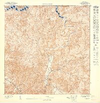
1947 · Utuado SE
USGS Topo · 1:10,000
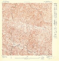
1947 · Monte Guilarte NE
USGS Topo · 1:10,000
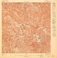
1947 · Adjuntas NO
USGS Topo · 1:10,000
1947 · Utuado NE
USGS Topo · 1:10,000
1947 · Utuado NO
USGS Topo · 1:10,000