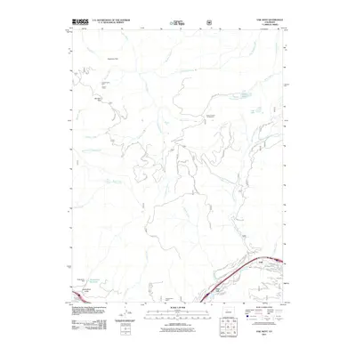
2011 Map of Vail West
USGS Topo · Published 2011About this map
Gore Creek flows through the southern corridor of this mountain landscape, providing the primary drainage for the developing settlements of Vail and West Vail. The map illustrates the expansion of resort-related infrastructure near the valley floor, where residential loops like Lions Ridge Loop and Westhaven Cir contrast with the vast forested areas to the north. Higher elevations are marked by historical resource extraction sites, notably the Coyote Claims Mine and Coyote Claims near Moniger Park, indicating the area's transition from early mining prospects to its modern recreational identity.
Find a feature on this map
48 named features on this map. Tap any name to fly to it.
Don’t see what you’re looking for? This feature index may not catch every label — zoom into the map to look around manually.
Map Details
Editions of this 2011 Vail West Map
This is the sole edition of this map. No revisions or reprints were ever made.
Other maps of this area

1933 · Mt. Powell
USGS Topo · 1:48,000

1934 · Minturn
USGS Topo · 1:62,500

1940 · Mount Powell
USGS Topo · 1:62,500

1950 · Minturn
USGS Topo · 1:62,500

1957 · Leadville
USGS Topo · 1:250,000

1959 · Leadville
USGS Topo · 1:250,000

1960 · Leadville
USGS Topo · 1:250,000

1962 · Leadville
USGS Topo · 1:250,000

1962 · Grouse Mountain
USGS Topo · 1:24,000

1962 · Edwards
USGS Topo · 1:24,000