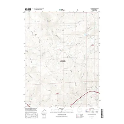
2016 Map of Vail West
USGS Topo · Published 2016About this map
Avon and Vail anchor the lower elevations of this survey, where the Eagle Valley meets the high-country recreation corridors of the White River National Forest. The landscape is defined by the sharp transition from the municipal developments of Gore Creek to the steep ridges of Red and White Mtn. Notable for its focus on the Vail Ski Area, the map documents technical infrastructure like Top Lift 8 alongside a complex network of forest roads and historic routes such as the Old 734 Trail and the Red Sandstone Muddy Pass. To the north, the terrain gives way to significant alpine hydrology, including Piney Lake, Lost Lake, and the winding Piney River. This 2016 edition provides a detailed record of the contemporary wildland-urban interface, tracing the intricate trail systems of Swift Gulch and Nottingham Gulch that bridge the gap between mountain resorts and the protected forest interior.
Find a feature on this map
62 named features on this map. Tap any name to fly to it.
Don’t see what you’re looking for? This feature index may not catch every label — zoom into the map to look around manually.
Map Details
Editions of this 2016 Vail West Map
This is the sole edition of this map. No revisions or reprints were ever made.
Other maps of this area

1933 · Mt. Powell
USGS Topo · 1:48,000

1934 · Minturn
USGS Topo · 1:62,500

1940 · Mount Powell
USGS Topo · 1:62,500

1950 · Minturn
USGS Topo · 1:62,500

1957 · Leadville
USGS Topo · 1:250,000

1959 · Leadville
USGS Topo · 1:250,000

1960 · Leadville
USGS Topo · 1:250,000

1962 · Leadville
USGS Topo · 1:250,000

1962 · Grouse Mountain
USGS Topo · 1:24,000

1962 · Edwards
USGS Topo · 1:24,000