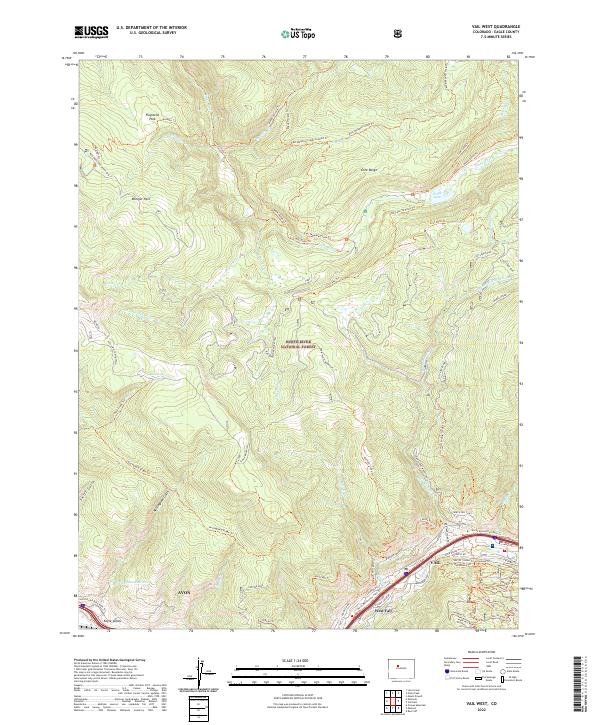
2022 Map of Vail West
USGS Topo · Published 2022About this map
The high alpine country of the Gore Range and the White River National Forest defines this landscape in the early 2020s. Along the southern corridor of the Piney River watershed, the towns of Avon, West Vail, and Vail anchor the valley floor along Gore Creek. The mountain slopes are intricately mapped with recreational infrastructure, particularly within the Vail Ski Area, where a dense network of trails such as the Liondown Trl, Berry Picker Trl, and Village Trl service the terrain under the Top Lift 8.
Find a feature on this map
78 named features on this map. Tap any name to fly to it.
Don’t see what you’re looking for? This feature index may not catch every label — zoom into the map to look around manually.
Map Details
Editions of this 2022 Vail West Map
This is the sole edition of this map. No revisions or reprints were ever made.
Other maps of this area

1933 · Mt. Powell
USGS Topo · 1:48,000

1934 · Minturn
USGS Topo · 1:62,500

1940 · Mount Powell
USGS Topo · 1:62,500

1950 · Minturn
USGS Topo · 1:62,500

1957 · Leadville
USGS Topo · 1:250,000

1959 · Leadville
USGS Topo · 1:250,000

1960 · Leadville
USGS Topo · 1:250,000

1962 · Leadville
USGS Topo · 1:250,000

1962 · Grouse Mountain
USGS Topo · 1:24,000

1962 · Edwards
USGS Topo · 1:24,000