Loading...
Loading map...2022 Map of Valera
USGS Topo · Published 2022About this map
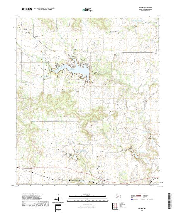
Valera serves as the primary settlement on this West Texas landscape, situated along the southern edge of a terrain defined by rolling hills and intermittent drainage. The area is heavily marked by water management projects, including several numbered reservoirs such as Soil Conservation Service Site 36 Reservoir and Soil Conservation Service Site 4 Reservoir. Central to the northern portion of the sheet is Hords Creek Lake, a significant water body fed by Hords Creek.
Find a feature on this map
47 named features on this map. Tap any name to fly to it.
Don’t see what you’re looking for? This feature index may not catch every label — zoom into the map to look around manually.
Map Details
Date Portrayed2022
Date Published2022
PublisherU.S. Geological Survey
Map TypeTopographic
Scale1:24000
Physical Dimensions24 x 29 inches
Editions of this 2022 Valera Map
This is the sole edition of this map. No revisions or reprints were ever made.
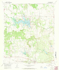
Historical Maps of Valera Through Time
Featured Locations
Source Details
SourceU.S. Geological Survey
CopyrightPublic Domain