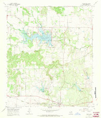
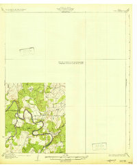
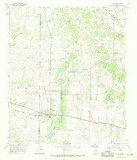
1967 Map of Valera
USGS Topo · Published 1969About this map
Valera and the nearby site of Old Valera anchor this mid-century Coleman County landscape, where the Atchison Topeka and Santa Fe railroad cuts across the southern plains. The northern portion of the quadrangle is dominated by the Hords Creek Reservoir, a center for regional recreation featuring Lakeside Park, Friendship Park, and Flat Rock Park. The presence of a Filtration Plant and multiple spillway elevations highlights the importance of water management in this cattle and oil-producing region.
Find a feature on this map
38 named features on this map. Tap any name to fly to it.
Don’t see what you’re looking for? This feature index may not catch every label — zoom into the map to look around manually.
Map Details
Editions of this 1967 Valera Map
This is the sole edition of this map. No revisions or reprints were ever made.
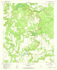
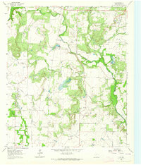
Other maps of this area
1887 · Coleman
USGS Topo · 1:125,000
1889 · Coleman
USGS Topo · 1:125,000
1892 · Ballinger
USGS Topo · 1:125,000
1932 · Voss
USGS Topo · 1:62,500

1954 · Brownwood
USGS Topo · 1:250,000
1960 · Lake Scarborough
USGS Topo · 1:24,000
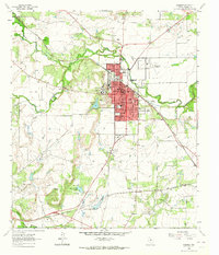
1963 · Coleman
USGS Topo · 1:24,000
1964 · Fisk
USGS Topo · 1:24,000
1967 · Talpa
USGS Topo · 1:24,000
1967 · Novice West
USGS Topo · 1:24,000