Loading...
Loading map...2022 Map of Valhalla
USGS Topo · Published 2022About this map
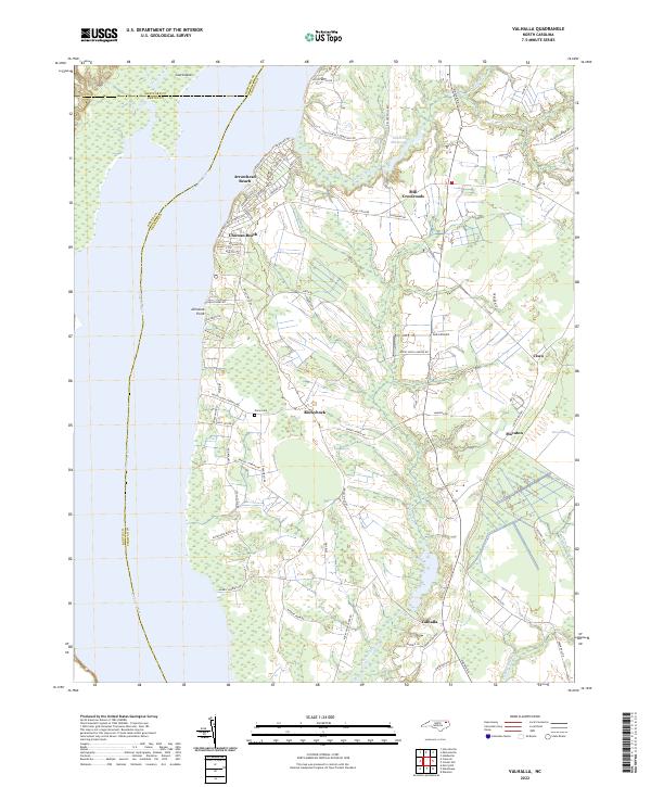
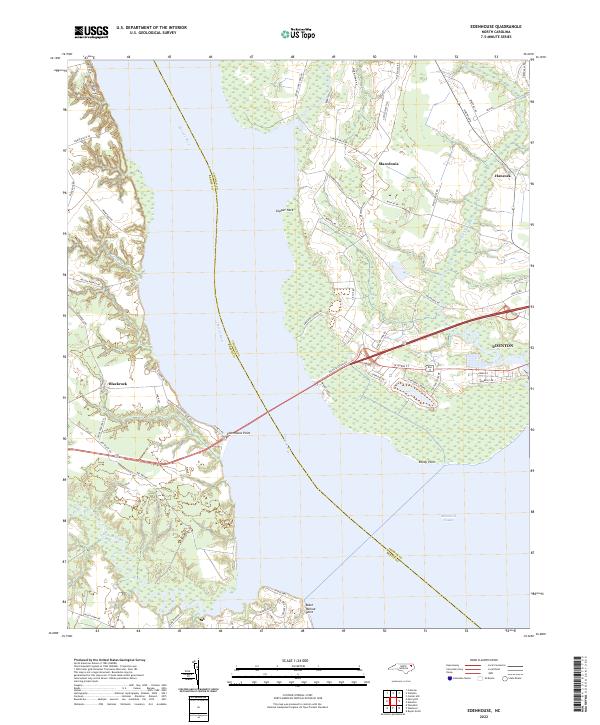
The eastern banks of the Chowan River define this region of Chowan County, where the transition from water to woodland is marked by numerous swampy drainages and riverside communities. Residential clusters like Arrowhead Beach and Chowan Beach occupy the northern reaches, with streets bearing indigenous-inspired names like Pocahontas Trl and Pamlico Trl. Further inland, the landscape is characterized by the winding paths of Rockyhock Creek and the expansive Pollock Swamp.
Find a feature on this map
73 named features on this map. Tap any name to fly to it.
Don’t see what you’re looking for? This feature index may not catch every label — zoom into the map to look around manually.
Map Details
Date Portrayed2022
Date Published2022
PublisherU.S. Geological Survey
Map TypeTopographic
Scale1:24000
Physical Dimensions24 x 29 inches
Editions of this 2022 Valhalla Map
This is the sole edition of this map. No revisions or reprints were ever made.
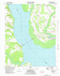
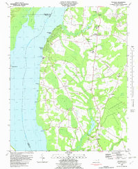
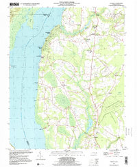
Historical Maps of Rockyhock Through Time
5 maps found
Featured Locations
Source Details
SourceU.S. Geological Survey
CopyrightPublic Domain