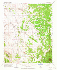
1962 Map of Valle
USGS Topo · Published 1964About this map
The high desert landscape of Northern Arizona is defined here by the critical water infrastructure and transportation corridors of the early 1960s. Valle serves as a central hub where the Atchison Topeka and Santa Fe railroad meets the road network, supported by the nearby Valle Airport and its Airway Beacon. The mapping of dozens of water sources, from Little Wagner Tank to the Big Hocter Tank, illustrates the essential nature of stock tanks for land management in this arid environment.
Find a feature on this map
73 named features on this map. Tap any name to fly to it.
Don’t see what you’re looking for? This feature index may not catch every label — zoom into the map to look around manually.
Map Details
Editions of this 1962 Valle Map
This is the sole edition of this map. No revisions or reprints were ever made.
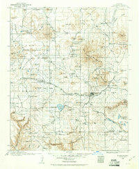
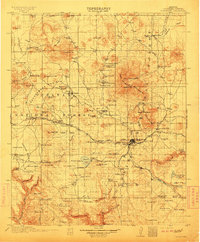
Other maps of this area

1886 · San Francisco Mtns
USGS Topo · 1:250,000

1886 · Chino
USGS Topo · 1:250,000

1891 · San Francisco Mtns
USGS Topo · 1:250,000

1891 · Chino
USGS Topo · 1:250,000

1894 · San Francisco Mtns
USGS Topo · 1:250,000

1899 · San Francisco Mtns
USGS Topo · 1:250,000
1908 · Flagstaff
USGS Topo · 1:125,000
1912 · Flagstaff
USGS Topo · 1:125,000
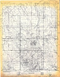
1922 · Williams
USGS Topo · 1:125,000

1947 · Flagstaff
USGS Topo · 1:250,000