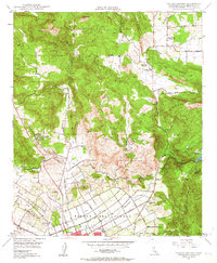
1948 Map of Valley Center
USGS Topo · Published 1963About this map
Valley Center and its surrounding inland valleys were defined by a network of ranching and agriculture shortly after the Second World War. The landscape is marked by the massive San Diego Aqueduct, which cuts through the Rincon Del Diablo grant to supply the growing region. To the south, the northern edge of Escondido begins to take shape, linked to the rural north by East Valley Boulevard and Bear Valley Parkway.
Find a feature on this map
37 named features on this map. Tap any name to fly to it.
Don’t see what you’re looking for? This feature index may not catch every label — zoom into the map to look around manually.
Map Details
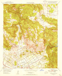
Editions of this 1948 Valley Center Map
2 editions found
Other maps of this area

1893 · Escondido
USGS Topo · 1:62,500

1901 · Escondido
USGS Topo · 1:62,500

1901 · San Luis Rey
USGS Topo · 1:125,000

1903 · Ramona
USGS Topo · 1:125,000

1904 · Southern California Sheet No. 2
USGS Topo · 1:250,000

1939 · Palomar Mountain
USGS Topo · 1:62,500

1942 · Temecula
USGS Topo · 1:62,500

1942 · Escondido
USGS Topo · 1:62,500

1942 · Ramona
USGS Topo · 1:62,500

1947 · Ramona
USGS Topo · 1:62,500