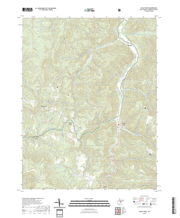
2023 Map of Valley Head
USGS Topo · Published 2023About this map
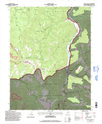
Valley Head and the surrounding high-country settlements of Monterville and Mingo occupy a landscape defined by the upper reaches of the Tygart Valley River. This portion of Randolph County shows a distinct pattern of valley-bottom development bracketed by the protected lands of the Monongahela National Forest. Small family cemeteries, including Wares Ridge Cem and Simmons Cem, are situated on the rising slopes of Ware Ridge and Swecker Ridge, reflecting the genealogy of the area's early mountain residents. The terrain is marked by significant hydrological features such as the Ezra Bennett Spring and the headwaters of Elkwater Fork, while the winding course of the river dictates the path of the primary transport corridor. Rural life is further evidenced by isolated landmarks like Brady Gate and Spangler, which remain key identifiers for local history researchers and family historians.
Find a feature on this map
50 named features on this map. Tap any name to fly to it.
Don’t see what you’re looking for? This feature index may not catch every label — zoom into the map to look around manually.
Map Details
Editions of this 2023 Valley Head Map
This is the sole edition of this map. No revisions or reprints were ever made.
Historical Maps of Valley Head Through Time
3 maps found