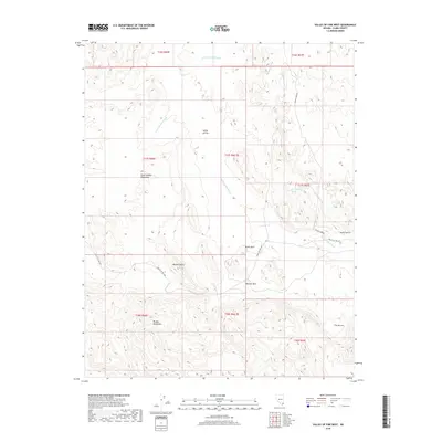
2018 Map of Valley of Fire West
USGS Topo · Published 2018About this map
The Valley of Fire dominates this desert landscape, characterized by the striking geological formations and dry watercourses typical of southern Nevada. Major drainage systems like the Valley of Fire Wash and Fire Canyon Wash weave through the terrain, illustrating the natural erosion patterns that define this environment. Distinctive landmarks such as Atlatl Rock, Beehive Rock, and the Seven Sisters are prominently identified, serving as key points of interest for researchers of the region's cultural and natural history. The map also captures the transition from the North Muddy Mountains in the north to the Muddy Mountains further south, highlighting the varied elevations within the Mojave Desert. Modern transportation is represented by the Valley of Fire Hwy and Mouses Tank Rd, which provide access to these isolated features.
Find a feature on this map
22 named features on this map. Tap any name to fly to it.
Don’t see what you’re looking for? This feature index may not catch every label — zoom into the map to look around manually.
Map Details
Editions of this 2018 Valley of Fire West Map
This is the sole edition of this map. No revisions or reprints were ever made.
Other maps of this area

1886 · Saint Thomas
USGS Topo · 1:250,000

1893 · Saint Thomas
USGS Topo · 1:250,000

1926 · Bonelli
USGS Topo · 1:96,000

1926 · Boulder Canyon
USGS Topo · 1:96,000

1953 · Muddy Peak
USGS Topo · 1:62,500

1953 · Overton Beach
USGS Topo · 1:62,500

1954 · Las Vegas
USGS Topo · 1:250,000

1957 · Las Vegas
USGS Topo · 1:250,000

1958 · Moapa
USGS Topo · 1:62,500

1958 · Overton
USGS Topo · 1:62,500