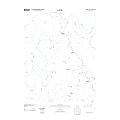
2013 Map of Valley View
USGS Topo · Published 2013About this map
Valley View Ferry remains a central landmark of this landscape, connecting the road network across the winding Kentucky River between the settlements of Valley View and Spears. This 2013 topographic study documents a region defined by its waterway-driven geography, where historical hamlets like Logana, Cuzick, and Stringtown are linked by a complex web of rural roads such as Carvers Ferry Rd and Hunters Ferry Rd. The terrain is marked by prominent elevations including Grizzard Hill, Crow Hill, and Whitlock Hill, which rise above the drainages of Marble Cr, Silver Cr, and Tate Cr. The settlement patterns recorded here, from Edenton to Newby, reflect long-established Kentucky communities situated among the ridges and river bends, preserving a record of local family-named landmarks and historical crossing points.
Find a feature on this map
80 named features on this map. Tap any name to fly to it.
Don’t see what you’re looking for? This feature index may not catch every label — zoom into the map to look around manually.
Map Details
Editions of this 2013 Valley View Map
This is the sole edition of this map. No revisions or reprints were ever made.
Other maps of this area

1892 · Richmond
USGS Topo · 1:125,000

1897 · Richmond
USGS Topo · 1:125,000

1905 · Harrodsburg
USGS Topo · 1:125,000

1952 · Valley View
USGS Topo · 1:24,000

1952 · Little Hickman
USGS Topo · 1:24,000

1952 · Nicholasville
USGS Topo · 1:24,000

1952 · Buckeye
USGS Topo · 1:24,000

1952 · Coletown
USGS Topo · 1:24,000

1952 · Kirksville
USGS Topo · 1:24,000

1952 · Ford
USGS Topo · 1:24,000