
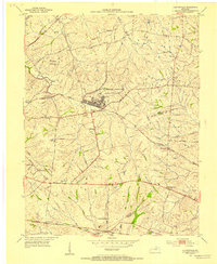
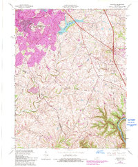
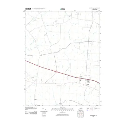
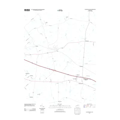
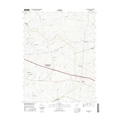
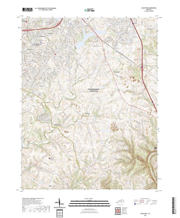
1952 Map of Coletown
USGS Topo · Published 1953About this map
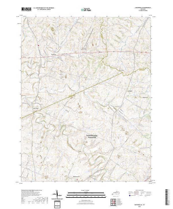
Lexington Reservoir No 4 and the Spillway 967 dominate the northern landscape of this region where the Bluegrass hills meet the river breaks. The settlement pattern in the early 1950s follows a network of historic pikes and lanes, including Jacks Creek Pike and Tates Creek Road, connecting small rural communities such as Coletown and East Hickman. This area is rich in local landmarks, from the Walnut Hill Ch and Bentley Memorial Ch to the small schools that served these farming districts, like Pricetown Sch and Shelby Sch. To the southeast, the terrain drops sharply toward the Kentucky River, where deep-cut drainages like Raven Run and Elk Lick Creek carve through the limestone. The map also captures the Radio Beacon and Pumping Sta that supported the growing infrastructure of Fayette County.
Find a feature on this map
35 named features on this map. Tap any name to fly to it.
Don’t see what you’re looking for? This feature index may not catch every label — zoom into the map to look around manually.
Map Details
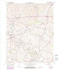
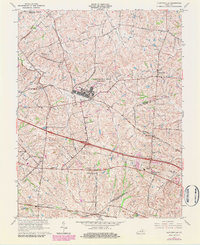
Editions of this 1952 Coletown Map
This is the sole edition of this map. No revisions or reprints were ever made.
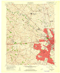
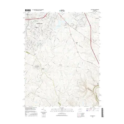
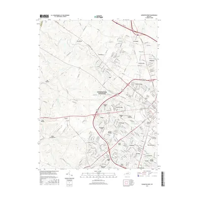
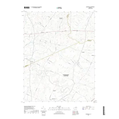
Historical Maps of Lexington Through Time
39 maps found

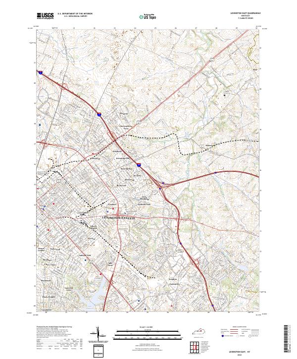
1950 Lexington East
Fayette County, KY

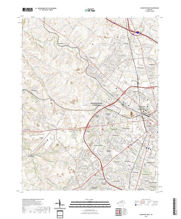
1950 Lexington West
Fayette County, KY
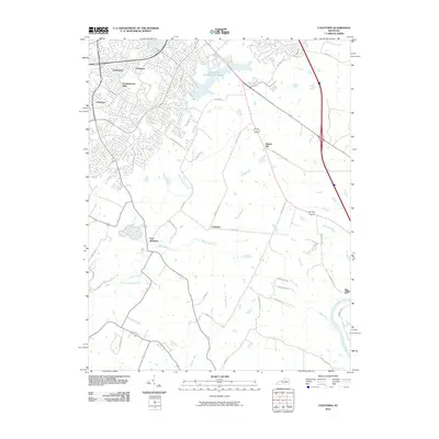
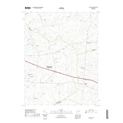
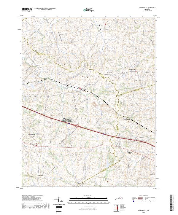
1952 Clintonville
Fayette County, KY
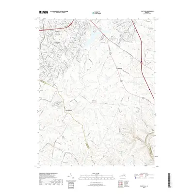
1952 Coletown
Fayette County, KY
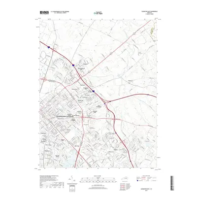
1954 Centerville
Fayette County, KY

1954 Lexington East
Fayette County, KY

1955 Lexington West
Fayette County, KY

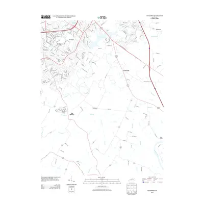
1959 Coletown
Fayette County, KY

1959 Lexington East
Fayette County, KY
1959 Lexington West
Fayette County, KY
1965 Clintonville
Fayette County, KY
1965 Coletown
Fayette County, KY
1965 Lexington East
Fayette County, KY
1965 Lexington West
Fayette County, KY
2010 Centerville
Fayette County, KY
2010 Clintonville
Fayette County, KY
2010 Coletown
Fayette County, KY

2010 Lexington East
Fayette County, KY
2010 Lexington West
Fayette County, KY
2013 Centerville
Fayette County, KY
2013 Clintonville
Fayette County, KY
2013 Coletown
Fayette County, KY

2013 Lexington East
Fayette County, KY
2013 Lexington West
Fayette County, KY
2016 Centerville
Fayette County, KY
2016 Clintonville
Fayette County, KY
2016 Coletown
Fayette County, KY

2016 Lexington East
Fayette County, KY
2016 Lexington West
Fayette County, KY
2019 Centerville
Fayette County, KY
2019 Clintonville
Fayette County, KY
2019 Coletown
Fayette County, KY
2019 Lexington East
Fayette County, KY

2019 Lexington West
Fayette County, KY
2022 Centerville
Fayette County, KY
2022 Clintonville
Fayette County, KY
2022 Coletown
Fayette County, KY
2022 Lexington East
Fayette County, KY
2022 Lexington West
Fayette County, KY
Featured Locations
- Lexington, KY
- Coletown, Lexington
- Gainesway, Lexington
- Jonestown, Lexington
- Southeastern Hills, Lexington