
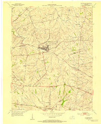
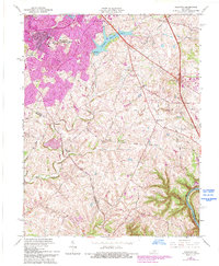
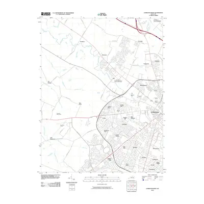
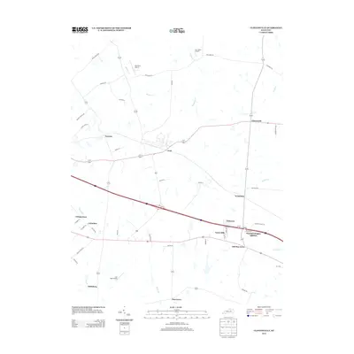
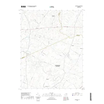
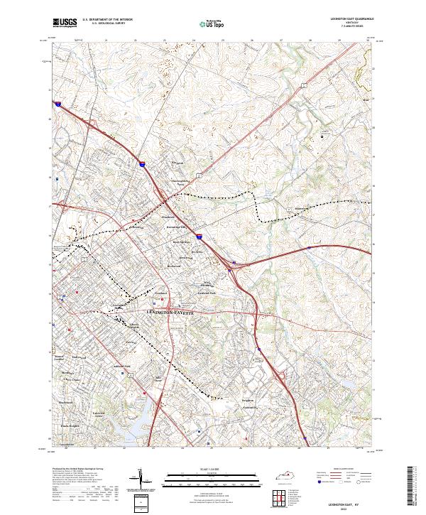
1950 Map of Lexington East
USGS Topo · Published 1952About this map
The urban core of Lexington and its eastern Bluegrass pastures appear here at mid-century, a landscape where the dense city street grid transitions into legendary horse country. Prominent institutional grounds like Transylvania University, Sayre College, and the Eastern State Hospital anchor the downtown area near the Courthouse. To the east, the map details the storied estate of Ashland at the Home of Henry Clay and the sprawling acreage of the Lexington Country Club and Idle Hour Country Club.
Find a feature on this map
88 named features on this map. Tap any name to fly to it.
Don’t see what you’re looking for? This feature index may not catch every label — zoom into the map to look around manually.
Map Details
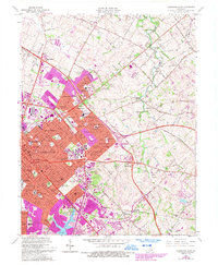
Editions of this 1950 Lexington East Map
This is the sole edition of this map. No revisions or reprints were ever made.
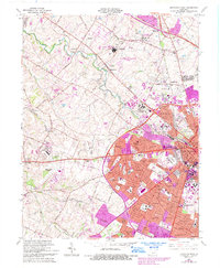
Historical Maps of Lexington Through Time
39 maps found
1950 Lexington East
Fayette County, KY

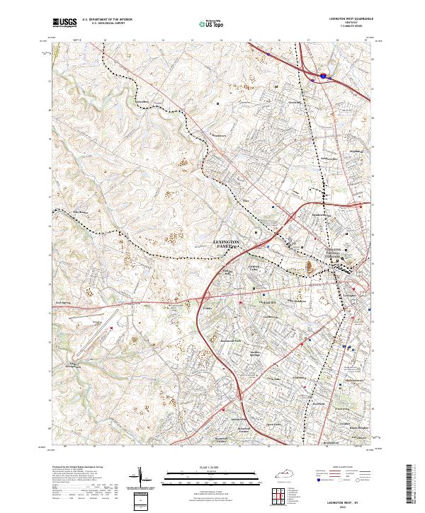
1950 Lexington West
Fayette County, KY
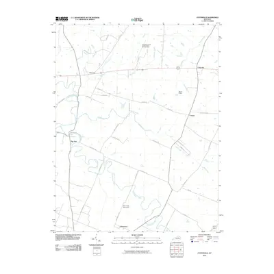
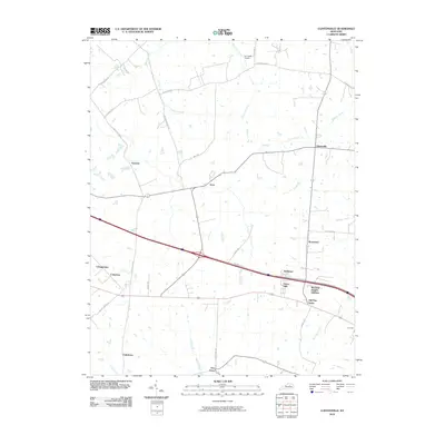
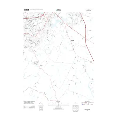
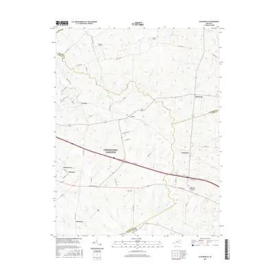
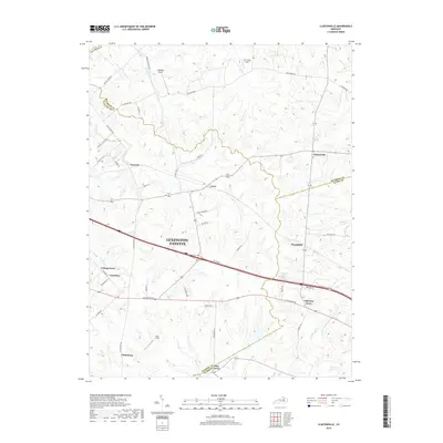
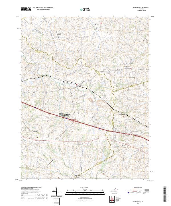
1952 Clintonville
Fayette County, KY

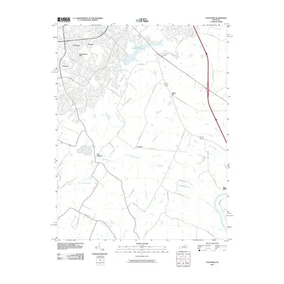
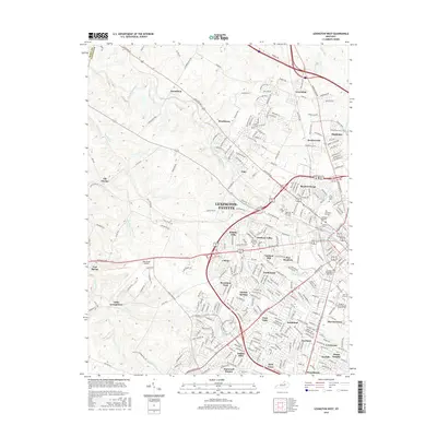
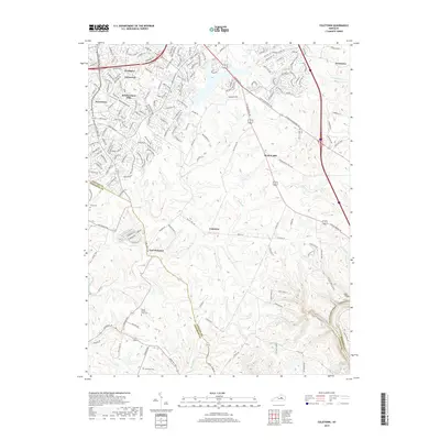
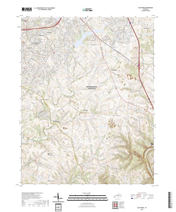
1952 Coletown
Fayette County, KY
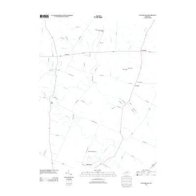
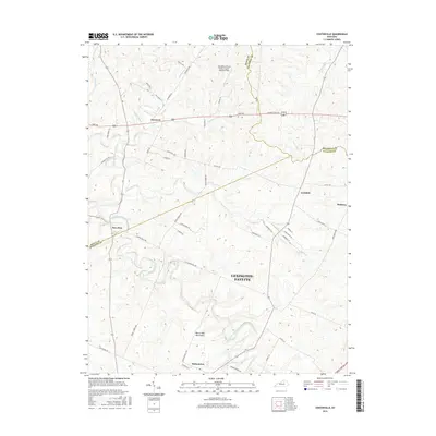
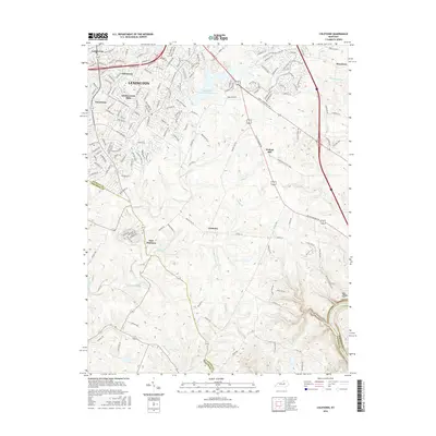
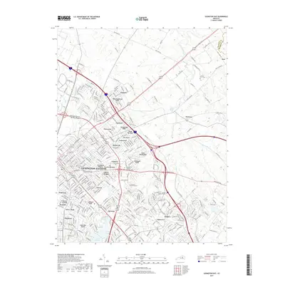
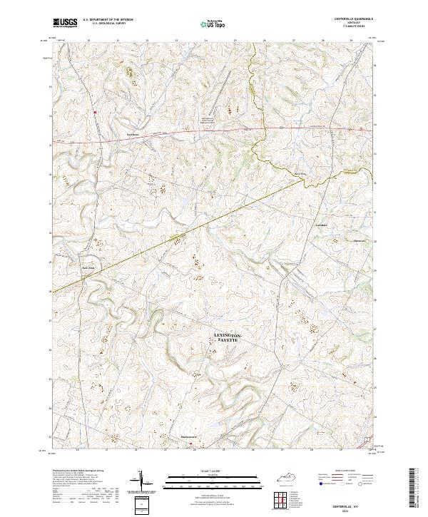
1954 Centerville
Fayette County, KY

1954 Lexington East
Fayette County, KY

1955 Lexington West
Fayette County, KY

1959 Coletown
Fayette County, KY

1959 Lexington East
Fayette County, KY
1959 Lexington West
Fayette County, KY
1965 Clintonville
Fayette County, KY
1965 Coletown
Fayette County, KY
1965 Lexington East
Fayette County, KY
1965 Lexington West
Fayette County, KY
2010 Centerville
Fayette County, KY
2010 Clintonville
Fayette County, KY
2010 Coletown
Fayette County, KY

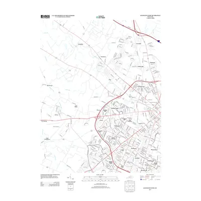
2010 Lexington East
Fayette County, KY
2010 Lexington West
Fayette County, KY
2013 Centerville
Fayette County, KY
2013 Clintonville
Fayette County, KY
2013 Coletown
Fayette County, KY

2013 Lexington East
Fayette County, KY
2013 Lexington West
Fayette County, KY
2016 Centerville
Fayette County, KY
2016 Clintonville
Fayette County, KY
2016 Coletown
Fayette County, KY

2016 Lexington East
Fayette County, KY
2016 Lexington West
Fayette County, KY
2019 Centerville
Fayette County, KY
2019 Clintonville
Fayette County, KY
2019 Coletown
Fayette County, KY
2019 Lexington East
Fayette County, KY

2019 Lexington West
Fayette County, KY
2022 Centerville
Fayette County, KY
2022 Clintonville
Fayette County, KY
2022 Coletown
Fayette County, KY
2022 Lexington East
Fayette County, KY
2022 Lexington West
Fayette County, KY