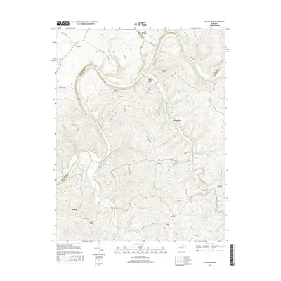
2016 Map of Valley View
USGS Topo · Published 2016About this map
The Kentucky River carves a deep, winding path through the heart of the Bluegrass region, serving as the border between Fayette, Jessamine, and Madison counties. At the center of this riverine landscape sits Valley View, where the terrain rises sharply toward Crow Hill and Grizzard Hill. The settlement patterns here follow the ridges and creek valleys, with communities like Logana and Spears situated near the headwaters of Hickman Creek and Marble Cr.
Find a feature on this map
68 named features on this map. Tap any name to fly to it.
Don’t see what you’re looking for? This feature index may not catch every label — zoom into the map to look around manually.
Map Details
Editions of this 2016 Valley View Map
This is the sole edition of this map. No revisions or reprints were ever made.
Other maps of this area

1892 · Richmond
USGS Topo · 1:125,000

1897 · Richmond
USGS Topo · 1:125,000

1905 · Harrodsburg
USGS Topo · 1:125,000

1952 · Valley View
USGS Topo · 1:24,000

1952 · Little Hickman
USGS Topo · 1:24,000

1952 · Nicholasville
USGS Topo · 1:24,000

1952 · Buckeye
USGS Topo · 1:24,000

1952 · Coletown
USGS Topo · 1:24,000

1952 · Kirksville
USGS Topo · 1:24,000

1952 · Ford
USGS Topo · 1:24,000