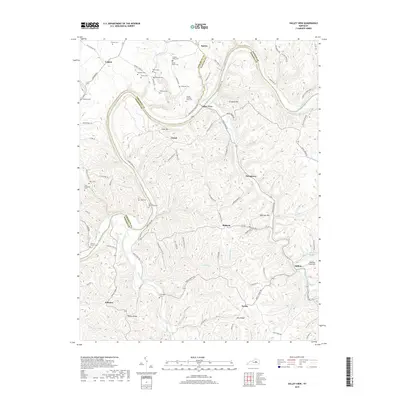
2019 Map of Valley View
USGS Topo · Published 2019About this map
The Kentucky River carves a deep, winding path through the borderlands of Jessamine, Fayette, and Madison counties, creating a landscape defined by sharp elevation changes and high ridges. This 2019 survey documents a rural environment where modern infrastructure like the Kentucky River Pkwy intersects with old carriage routes and ferry roads, including Carvers Ferry Rd and Hunters Ferry Rd. Small unincorporated communities and rural clusters like Valley View, Logana, and Stringtown anchor the region.
Find a feature on this map
95 named features on this map. Tap any name to fly to it.
Don’t see what you’re looking for? This feature index may not catch every label — zoom into the map to look around manually.
Map Details
Editions of this 2019 Valley View Map
This is the sole edition of this map. No revisions or reprints were ever made.
Other maps of this area

1892 · Richmond
USGS Topo · 1:125,000

1897 · Richmond
USGS Topo · 1:125,000

1905 · Harrodsburg
USGS Topo · 1:125,000
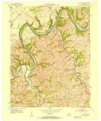
1952 · Valley View
USGS Topo · 1:24,000
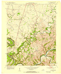
1952 · Little Hickman
USGS Topo · 1:24,000
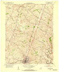
1952 · Nicholasville
USGS Topo · 1:24,000
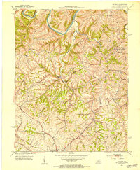
1952 · Buckeye
USGS Topo · 1:24,000
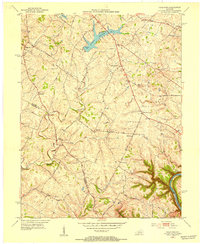
1952 · Coletown
USGS Topo · 1:24,000
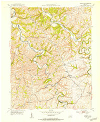
1952 · Kirksville
USGS Topo · 1:24,000
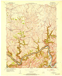
1952 · Ford
USGS Topo · 1:24,000