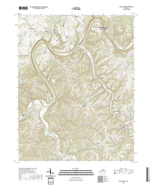
2022 Map of Valley View
USGS Topo · Published 2022About this map
The Kentucky River winds through the heart of this landscape, forming the natural boundary between Jessamine, Fayette, and Madison Counties. The area's deep history is evidenced by an exceptionally high density of family burial grounds scattered throughout the ridges and hollows, including the Walker-Hale Cem, Gullette Cem, and Sanders-Brumfield Cem. These small, localized cemeteries reflect the multi-generational family landholdings common in this part of Kentucky.
Find a feature on this map
99 named features on this map. Tap any name to fly to it.
Don’t see what you’re looking for? This feature index may not catch every label — zoom into the map to look around manually.
Map Details
Editions of this 2022 Valley View Map
This is the sole edition of this map. No revisions or reprints were ever made.
Other maps of this area

1892 · Richmond
USGS Topo · 1:125,000

1897 · Richmond
USGS Topo · 1:125,000

1905 · Harrodsburg
USGS Topo · 1:125,000

1952 · Valley View
USGS Topo · 1:24,000

1952 · Little Hickman
USGS Topo · 1:24,000

1952 · Nicholasville
USGS Topo · 1:24,000

1952 · Buckeye
USGS Topo · 1:24,000

1952 · Coletown
USGS Topo · 1:24,000

1952 · Kirksville
USGS Topo · 1:24,000

1952 · Ford
USGS Topo · 1:24,000