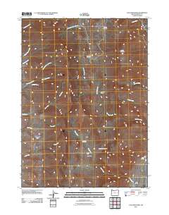
2011 Map of Van Horn Basin
USGS Topo · Published 2011About this map
Pueblo Mountain overlooks a landscape of high-desert basins and seasonal drainages in this remote section of Harney County. The area is defined by the broad Van Horn Basin and Denio Basin, where the water of Van Horn Creek and Denio Creek shapes the local topography. Evidence of early 21st-century land use and historic habitation is visible through markers such as the O'Conner Homestead and Tiller Cabin, reflecting the persistent but sparse ranching and homesteading history of the Oregon-Nevada borderlands.
Find a feature on this map
27 named features on this map. Tap any name to fly to it.
Don’t see what you’re looking for? This feature index may not catch every label — zoom into the map to look around manually.
Map Details
Editions of this 2011 Van Horn Basin Map
This is the sole edition of this map. No revisions or reprints were ever made.
Other maps of this area

1886 · Disaster
USGS Topo · 1:250,000

1893 · Disaster
USGS Topo · 1:250,000

1954 · Vya
USGS Topo · 1:250,000

1955 · Adel
USGS Topo · 1:250,000

1957 · Adel
USGS Topo · 1:250,000

1958 · Vya
USGS Topo · 1:250,000

1958 · Adel
USGS Topo · 1:250,000

1962 · Vya
USGS Topo · 1:250,000

1962 · Adel
USGS Topo · 1:250,000

1965 · Railroad Point
USGS Topo · 1:62,500