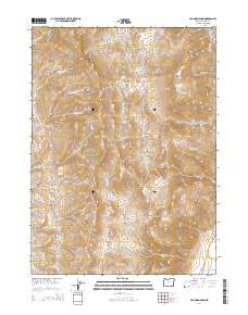
2014 Map of Van Horn Basin
USGS Topo · Published 2014About this map
Pueblo Mountains dominate this high-desert landscape in Harney County, Oregon, where the terrain transitions from steep peaks like Pueblo Mtn to broad alluvial basins. The map illustrates a complex drainage system including Van Horn Cr and Denio Cr, which feed into the Van Horn Basin and Denio Basin. For those researching local history, the Denio Cem stands as a significant landmark near the southern boundary, providing a point of interest for genealogists. The land use is defined by named grazing and water features such as Ten Cent Meadows, Propeller Meadows, and Mapes Springs. The road network is sparse, centered on the Fields Denio Rd and Cottonwood-Fields Rd, reflecting the remote character of this region where cattle ranching and water rights have long shaped the human footprint on the land.
Find a feature on this map
32 named features on this map. Tap any name to fly to it.
Don’t see what you’re looking for? This feature index may not catch every label — zoom into the map to look around manually.
Map Details
Editions of this 2014 Van Horn Basin Map
This is the sole edition of this map. No revisions or reprints were ever made.
Other maps of this area

1886 · Disaster
USGS Topo · 1:250,000

1893 · Disaster
USGS Topo · 1:250,000

1954 · Vya
USGS Topo · 1:250,000

1955 · Adel
USGS Topo · 1:250,000

1957 · Adel
USGS Topo · 1:250,000

1958 · Vya
USGS Topo · 1:250,000

1958 · Adel
USGS Topo · 1:250,000

1962 · Vya
USGS Topo · 1:250,000

1962 · Adel
USGS Topo · 1:250,000

1965 · Railroad Point
USGS Topo · 1:62,500