Loading...
Loading map...2022 Map of Van
USGS Topo · Published 2022About this map
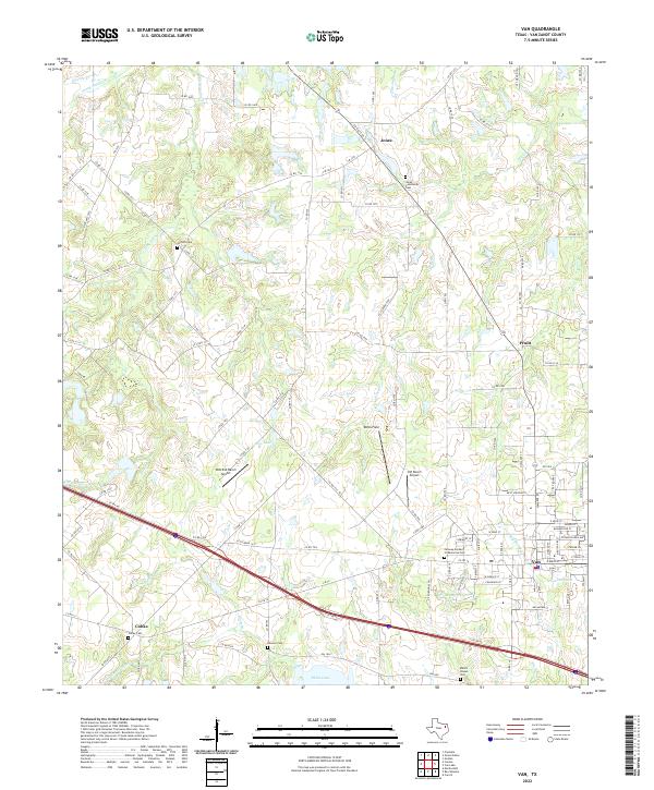
Van stands as a central hub in this Van Zandt County landscape, where the town's residential street grid and commercial center are clearly defined. The area's social history is recorded through numerous burial grounds, including the Fairway Garden of Memories Cem and Jones Community Cem. Smaller rural communities like Colfax and Pruitt are linked by a dense network of county roads, such as VZ Co RD 1313 and Co RD 1603, which navigate around the wetlands of Big Sandy Cr and Pole Br.
Find a feature on this map
114 named features on this map. Tap any name to fly to it.
Don’t see what you’re looking for? This feature index may not catch every label — zoom into the map to look around manually.
Map Details
Date Portrayed2022
Date Published2022
PublisherU.S. Geological Survey
Map TypeTopographic
Scale1:24000
Physical Dimensions24 x 29 inches
Editions of this 2022 Van Map
This is the sole edition of this map. No revisions or reprints were ever made.
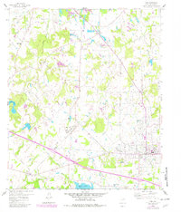
Historical Maps of Jones Through Time
Featured Locations
Source Details
SourceU.S. Geological Survey
CopyrightPublic Domain