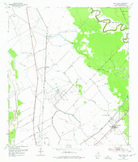
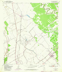
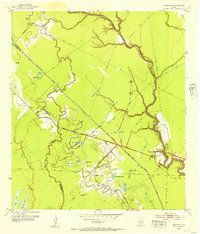
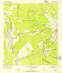
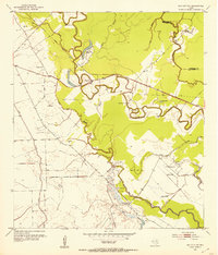
1952 Map of Van Vleck
USGS Topo · Published 1977About this map
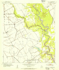
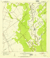
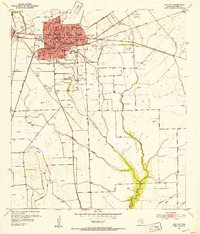
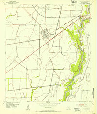
Van Vleck serves as a focal point for this coastal prairie landscape, where the Southern Pacific and Gulf Colorado and Santa Fe railroads intersect. This 1952 topography, published later in the 1970s, reveals a rural economy heavily defined by petroleum extraction and complex water management. The terrain is a network of drainage features like Bucks Bayou, Snead Slough, and Hardeman Slough, alongside a systematic infrastructure of levees and flumes. Large-scale energy production is prominent across the quadrangle, evidenced by the North Bay City Oil Field and Sugar Valley Oil Field. Smaller rail-side settlements like McCroskey, Chalmers, and Camp Pierce dot the lines, while the Free System Cem and Van Vleck High Sch provide essential genealogical and social markers for researchers of Matagorda County history.
Find a feature on this map
19 named features on this map. Tap any name to fly to it.
Don’t see what you’re looking for? This feature index may not catch every label — zoom into the map to look around manually.
Map Details
Editions of this 1952 Van Vleck Map
3 editions found

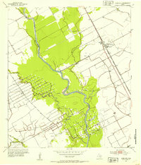
Other maps of this area

1950 · Houston
USGS Topo · 1:250,000

1951 · Bay City
USGS Topo · 1:250,000
1952 · Danciger
USGS Topo · 1:24,000
1952 · Ashwood
USGS Topo · 1:24,000
1952 · Lane City SE
USGS Topo · 1:24,000
1952 · Pledger
USGS Topo · 1:24,000
1952 · Bay City
USGS Topo · 1:24,000
1952 · Markham
USGS Topo · 1:24,000
1952 · Bay City NE
USGS Topo · 1:24,000
1952 · Lane City
USGS Topo · 1:24,000