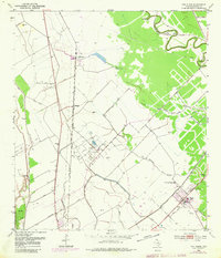
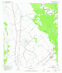
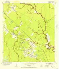
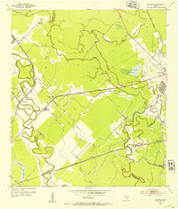
1952 Map of Van Vleck
USGS Topo · Published 1980About this map
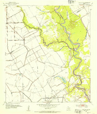
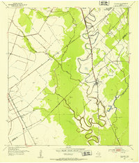
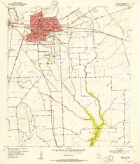
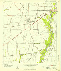
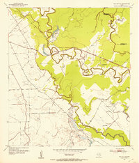
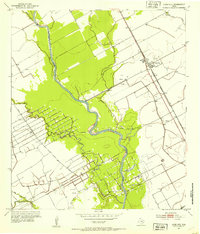
Van Vleck stands at the intersection of industry and transit in mid-century Matagorda County, where the Southern Pacific and Atchison Topeka and Santa Fe railroads crisscross the coastal plains. The landscape is defined by its extraction economy, with the Bay City Oil Field, Sugar Valley Oil Field, and Armour Oil Field occupying large tracts of land. These operations are integrated into a complex drainage system of levee structures and spoil banks that manage the low-lying terrain around Caney Creek and Bucks Bayou.
Find a feature on this map
22 named features on this map. Tap any name to fly to it.
Don’t see what you’re looking for? This feature index may not catch every label — zoom into the map to look around manually.
Map Details
Editions of this 1952 Van Vleck Map
3 editions found

Other maps of this area

1950 · Houston
USGS Topo · 1:250,000

1951 · Bay City
USGS Topo · 1:250,000
1952 · Danciger
USGS Topo · 1:24,000
1952 · Ashwood
USGS Topo · 1:24,000
1952 · Lane City SE
USGS Topo · 1:24,000
1952 · Pledger
USGS Topo · 1:24,000
1952 · Bay City
USGS Topo · 1:24,000
1952 · Markham
USGS Topo · 1:24,000
1952 · Bay City NE
USGS Topo · 1:24,000
1952 · Lane City
USGS Topo · 1:24,000