2022 Map of Van Wert
USGS Topo · Published 2022About this map
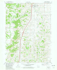
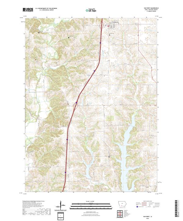
Van Wert sits at the northern edge of this Decatur County landscape, where the local road network bridges the transition between agricultural uplands and the river valleys to the south. The terrain is defined by the branching paths of the West Little River and its companion, the W Little River, which together carve a complex drainage pattern across the township. This modern survey reflects the enduring rural character of the region, where the grid of section lines is occasionally interrupted by more whimsical local designations like Popcorn Rd.
Find a feature on this map
42 named features on this map. Tap any name to fly to it.
Don’t see what you’re looking for? This feature index may not catch every label — zoom into the map to look around manually.
Map Details
Editions of this 2022 Van Wert Map
This is the sole edition of this map. No revisions or reprints were ever made.