Old Maps of Leon, Iowa
Explore 30 old maps of Leon, spanning from 1945 to today. These high-resolution historic maps reveal how streets, neighborhoods, landmarks, and natural features evolved over time — perfect for genealogy, metal detecting, research, and local history exploration.
What you can do with these maps:
- See how Leon changed over time: Compare historical maps to modern-day views to trace roads, homesites, rail lines & more.
- View detailed metadata: Each map includes creators, publishers, year, scale, and archive source.
- Overlay maps with satellite & LiDAR: Visualize the past alongside modern tools to explore terrain & human change.
- Trusted historical sources: Maps sourced from the USGS, Library of Congress, and other archives.
- Access maps your way: View online, download high-res files, or order prints for personal or research use.
Start exploring old maps of Leon to uncover forgotten places, hidden landmarks, and the deep history beneath your feet.
Leon, IA maps
(30)- 1945 Map of Lamoni, 1957 Print
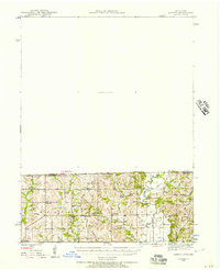 1945 Lamoni1957 Print · USGSThe Iowa and Missouri borderlands come to life in this mid-century survey of the rural corridor between Harrison and Decatur counties. Researchers can trace the tracks of the Chicago Burlington and Quincy railroad and find local landmarks like Andover, Riverview Ch, and Akron Cem.
 - 1947 Map of Lamoni
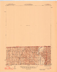 1947 Lamoni1947 Print · USGSThe rural borderlands of Iowa and Missouri are captured here just after the war, showing a dense network of country schools and churches. Genealogists can trace family roots through landmarks like Andover Cem, Lone Star Sch, and the Riverview Ch along the Thompson River.2 unique versions available
 - 1954 Map of Centerville, 1967 Print
 1954 Centerville1967 Print · USGSThe Iowa-Missouri borderlands at mid-century reveal a landscape shaped by river valleys and the height of the regional rail network. Genealogists and historians can trace the paths of the Wabash railroad and locate old townsites like Mystic, Moulton, and Greentop.3 unique versions available
 - 1957 Map of Centerville
 1957 Centerville1957 Print · USGSThe Iowa-Missouri borderlands in the mid-fifties reveal a landscape of river-valley agriculture and vital rail corridors. Genealogists and historians can trace family-named landmarks and small-town growth in Centerville, Kirksville, and along the Wabash railroad line.
 - 1958 Map of Centerville
 1958 Centerville1958 Print · USGSThe Iowa-Missouri borderlands come into focus during the mid-fifties, showing a landscape defined by river valleys and intersecting rail lines. Genealogists and local historians can trace family roots through dozens of rural hubs like Bloomfield, Unionville, and Corydon.
 - 1964 Map of Leon, 1966 Print
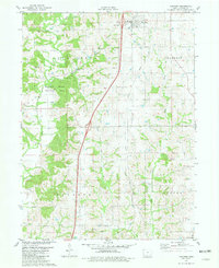
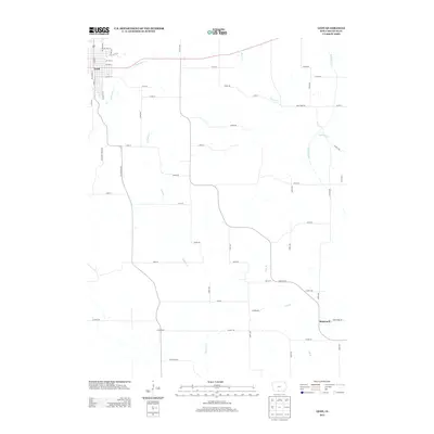
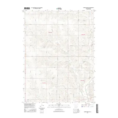
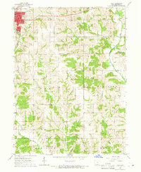 1964 Leon1966 Print · USGSLeon and the rolling farmland of Decatur County are captured here in the mid-sixties, showing the intersection of rail and river life. Researchers can locate the C B & Q rail line and several rural landmarks including St Marys Cem and the New Salem Ch.
 - 1965 Map of Garden Grove SW, 1966 Print
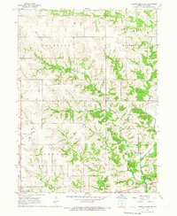 1965 Garden Grove SW1966 Print · USGSDecatur County's rural townships are captured in the mid-1960s as a landscape of interconnected creek valleys and family farmsteads. Researchers can locate ancestral landmarks like Winters Cem, the Franklin Ch, and the original route of the Chicago Burlington and Quincy railroad.
 - 1981 Map of Van Wert
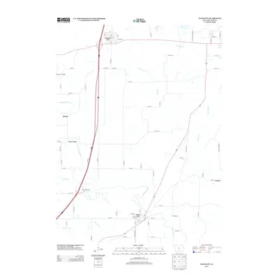
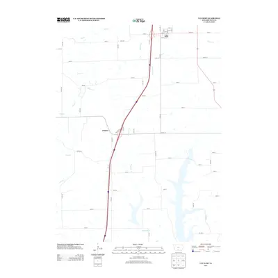
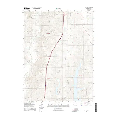
 1981 Van Wert1981 Print · USGSDecatur County in the early eighties shows a landscape of quiet township centers and winding river valleys near the Missouri border. Genealogists and local historians can trace family burial sites like McKee Cem and Shy Cem or follow the path of an Old RR Grade.
 - 1981 Map of Davis City
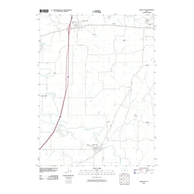
 1981 Davis City1981 Print · USGSSouthern Iowa's rural landscape is captured here in the early eighties as the Thompson River winds through Decatur County. Genealogists and local historians can trace family roots through the Manchester Cem, Bethel Cem Ch, and the small settlement of Terre Haute.
 - 1981 Map of Leon, 1982 Print
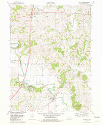
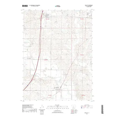
 1981 Leon1982 Print · USGSSouthern Iowa and northern Missouri are captured here in the early eighties as the rural landscape balances traditional agriculture with large-scale water management. Researchers can trace the path of the Burlington Northern through Leon or locate early settlements like Decatur City and New Buda.
 - 2010 Map of Leon, 2010 Print
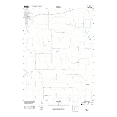 2010 Leon2010 Print · USGSCovers Leon, including Brucewell, Decatur County, and other nearby areas
 - 2010 Map of Van Wert, 2010 Print
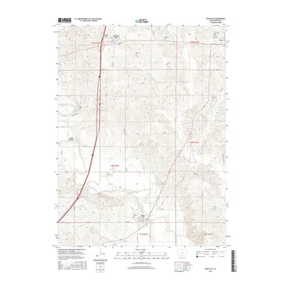
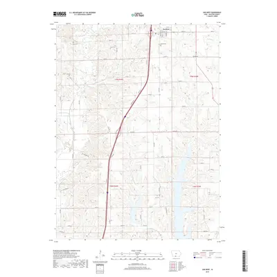
 2010 Van Wert2010 Print · USGSCovers Leon, including Van Wert, Kingston, and other nearby areas
 - 2010 Map of Davis City, 2010 Print
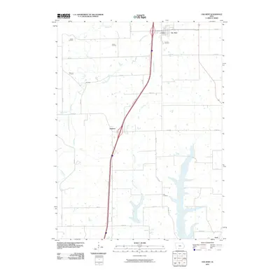
 2010 Davis City2010 Print · USGSCovers Leon, including Davis City, Decatur, and other nearby areas
 - 2010 Map of Garden Grove SW, 2010 Print
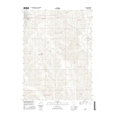
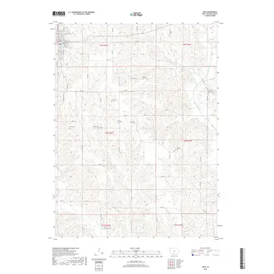
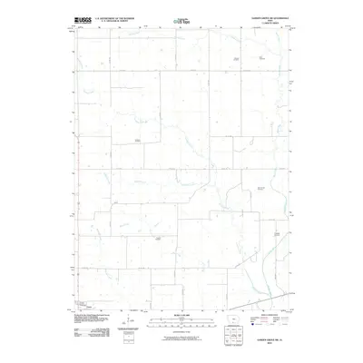 2010 Garden Grove SW2010 Print · USGSCovers Leon, including Decatur County, United States, and other nearby areas
 - 2013 Map of Garden Grove SW, 2013 Print
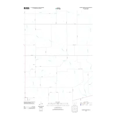 2013 Garden Grove SW2013 Print · USGSCovers Leon, including Decatur County, United States, and other nearby areas
 - 2013 Map of Davis City, 2013 Print
 2013 Davis City2013 Print · USGSCovers Leon, including Davis City, Decatur, and other nearby areas
 - 2013 Map of Leon, 2013 Print
 2013 Leon2013 Print · USGSCovers Leon, including Brucewell, Decatur County, and other nearby areas
 - 2013 Map of Van Wert, 2013 Print
 2013 Van Wert2013 Print · USGSCovers Leon, including Van Wert, Kingston, and other nearby areas
 - 2015 Map of Leon, 2015 Print
 2015 Leon2015 Print · USGSCovers Leon, including Brucewell, Decatur County, and other nearby areas
 - 2015 Map of Davis City, 2015 Print
 2015 Davis City2015 Print · USGSCovers Leon, including Davis City, Decatur, and other nearby areas
 - 2015 Map of Garden Grove SW, 2015 Print
 2015 Garden Grove SW2015 Print · USGSCovers Leon, including Decatur County, United States, and other nearby areas
 - 2015 Map of Van Wert, 2015 Print
 2015 Van Wert2015 Print · USGSCovers Leon, including Van Wert, Kingston, and other nearby areas
 - 2018 Map of Van Wert, 2018 Print
 2018 Van Wert2018 Print · USGSCovers Leon, including Van Wert, Kingston, and other nearby areas
 - 2018 Map of Leon, 2018 Print
 2018 Leon2018 Print · USGSCovers Leon, including Brucewell, Decatur County, and other nearby areas
 - 2018 Map of Davis City, 2018 Print
 2018 Davis City2018 Print · USGSCovers Leon, including Davis City, Decatur, and other nearby areas
Showing maps 1-25 of 30
Top cities near Leon
- Lamoni historical maps
- Mercer historical maps
- Grand River historical maps
- Lineville historical maps
- Davis City historical maps
- Van Wert historical maps
See more
Frequently asked questions
- What are the different types of historical maps available for Leon?
- What is the oldest map of Leon?
- Where can I purchase historical maps of Leon for my home or office?
- Where can I download high-res historical maps of Leon?
- Are there historical topographic maps available for Leon?
- Is there historical aerial imagery available for Leon?
- Where are historical maps of Leon sourced from?