2000s (21st Century) Maps of Leon, Iowa
Explore 20 historic maps of Leon from the 2000s (21st Century). These maps offer a rare glimpse into what life looked like during the 2000s — showing old roads, neighborhoods, homes, and landmarks that have changed or disappeared over time.
Whether you're researching your family's past, planning a metal detecting trip, or studying how Leon's landscape evolved across the 2000s, these high-resolution maps are a powerful tool for exploring the history of this region.
- Focus on a specific era: All maps on this page are from the 2000s, giving you a focused view of this time period.
- See what’s changed: Compare century-old streets, trails, and buildings to today's modern landscape using overlays and satellite layers.
- Research with precision: Use these maps for genealogy, historical research, land use analysis, or educational projects.
- View, download, or print: Maps are fully viewable online in high resolution, and can be downloaded or printed for your own records.
Start exploring Leon's history through authentic maps from the 2000s. This is your window into the past.
Leon, IA maps
(20)- 2010 Map of Leon, 2010 Print
 2010 Leon2010 Print · USGSCovers Leon, including Brucewell, Decatur County, and other nearby areas
 - 2010 Map of Van Wert, 2010 Print
 2010 Van Wert2010 Print · USGSCovers Leon, including Van Wert, Kingston, and other nearby areas
 - 2010 Map of Davis City, 2010 Print
 2010 Davis City2010 Print · USGSCovers Leon, including Davis City, Decatur, and other nearby areas
 - 2010 Map of Garden Grove SW, 2010 Print
 2010 Garden Grove SW2010 Print · USGSCovers Leon, including Decatur County, United States, and other nearby areas
 - 2013 Map of Garden Grove SW, 2013 Print
 2013 Garden Grove SW2013 Print · USGSCovers Leon, including Decatur County, United States, and other nearby areas
 - 2013 Map of Davis City, 2013 Print
 2013 Davis City2013 Print · USGSCovers Leon, including Davis City, Decatur, and other nearby areas
 - 2013 Map of Leon, 2013 Print
 2013 Leon2013 Print · USGSCovers Leon, including Brucewell, Decatur County, and other nearby areas
 - 2013 Map of Van Wert, 2013 Print
 2013 Van Wert2013 Print · USGSCovers Leon, including Van Wert, Kingston, and other nearby areas
 - 2015 Map of Leon, 2015 Print
 2015 Leon2015 Print · USGSCovers Leon, including Brucewell, Decatur County, and other nearby areas
 - 2015 Map of Davis City, 2015 Print
 2015 Davis City2015 Print · USGSCovers Leon, including Davis City, Decatur, and other nearby areas
 - 2015 Map of Garden Grove SW, 2015 Print
 2015 Garden Grove SW2015 Print · USGSCovers Leon, including Decatur County, United States, and other nearby areas
 - 2015 Map of Van Wert, 2015 Print
 2015 Van Wert2015 Print · USGSCovers Leon, including Van Wert, Kingston, and other nearby areas
 - 2018 Map of Van Wert, 2018 Print
 2018 Van Wert2018 Print · USGSCovers Leon, including Van Wert, Kingston, and other nearby areas
 - 2018 Map of Leon, 2018 Print
 2018 Leon2018 Print · USGSCovers Leon, including Brucewell, Decatur County, and other nearby areas
 - 2018 Map of Davis City, 2018 Print
 2018 Davis City2018 Print · USGSCovers Leon, including Davis City, Decatur, and other nearby areas
 - 2018 Map of Garden Grove SW, 2018 Print
 2018 Garden Grove SW2018 Print · USGSCovers Leon, including Decatur County, United States, and other nearby areas
 - 2022 Map of Davis City, 2022 Print
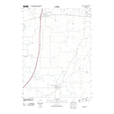
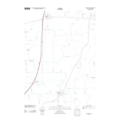
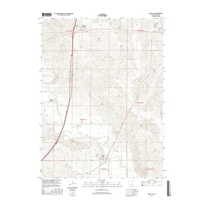
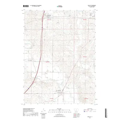
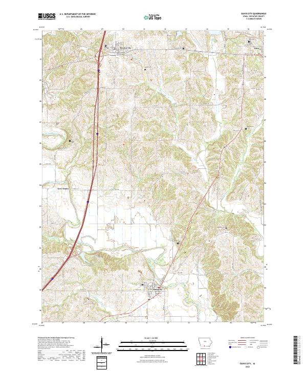 2022 Davis City2022 Print · USGSDecatur County's river valleys and rural townships are captured here in the early twenty-first century. Genealogists can locate numerous small burial sites like Manchester Cem and Palestine Cem while tracing the path of the Thompson River.
 - 2022 Map of Leon, 2022 Print
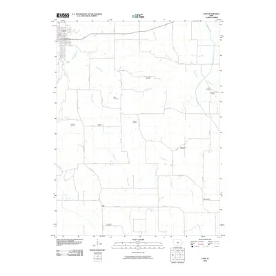
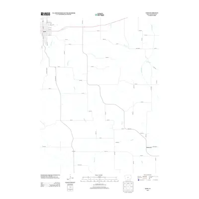
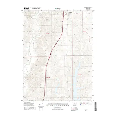
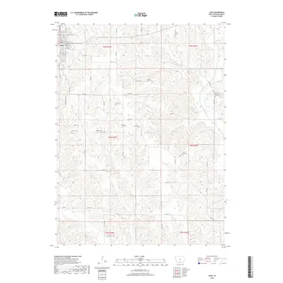
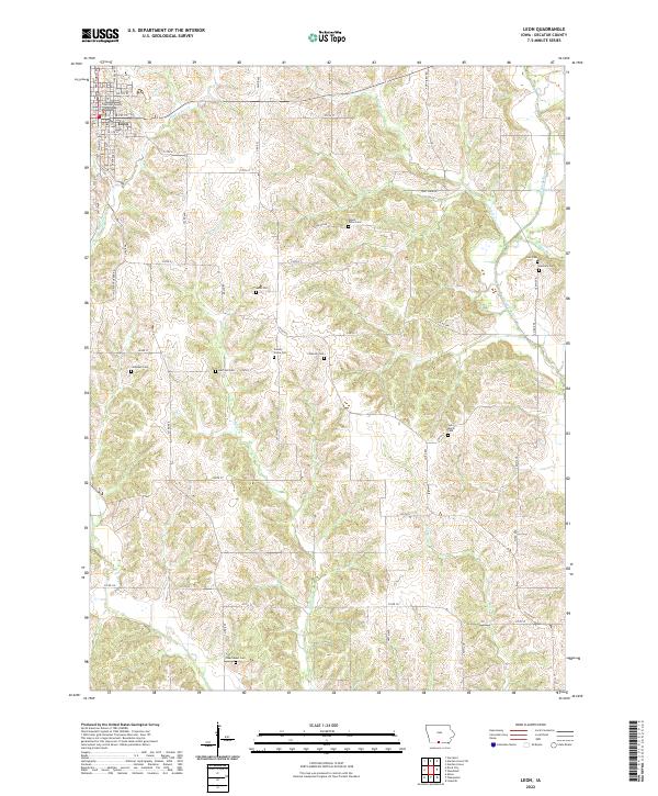 2022 Leon2022 Print · USGSDecatur County's seat and the surrounding Iowa countryside are shown in detail during the early twenty-first century. Genealogists can locate numerous rural burial sites including Meek Cem, Chastain Cem, and the County Home Cem near the Weldon River.
 - 2022 Map of Garden Grove SW, 2022 Print
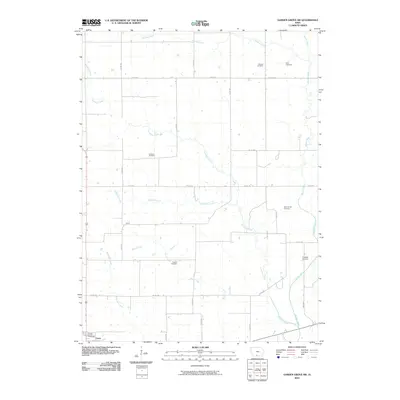
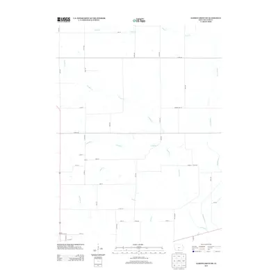
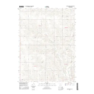
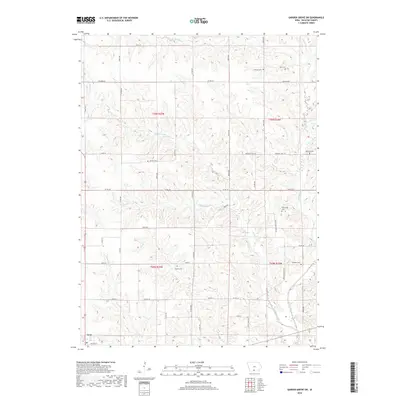
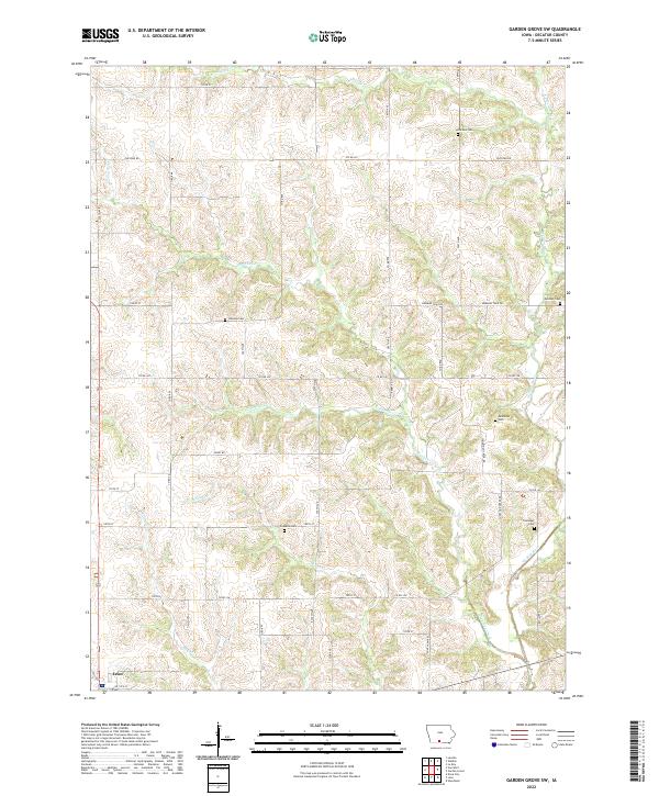 2022 Garden Grove SW2022 Print · USGSDecatur County at the start of the 2020s shows a landscape still deeply anchored by its pioneer routes and rural cemeteries. Researchers can trace the path of Morman Trail Rd or locate ancestral sites like Winters Cem and Franklin Cem near the banks of the Weldon River.
 - 2022 Map of Van Wert, 2022 Print
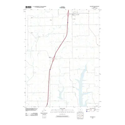
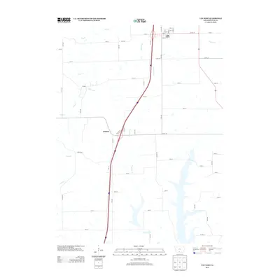
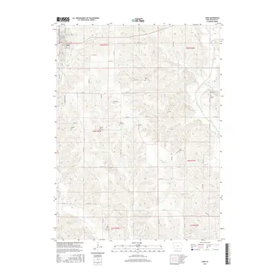
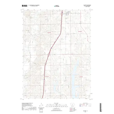
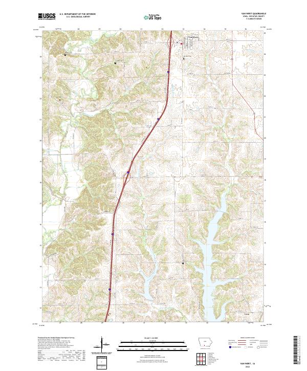 2022 Van Wert2022 Print · USGSThe rural landscapes of Decatur County are captured here in the early twenty-first century, centered on the community of Van Wert. Researchers can trace the drainage of the West Little River and find local landmarks such as Popcorn Rd and Shy Cem.
End of results
Showing maps 1-20 of 20
Top cities near Leon
- Lamoni historical maps
- Mercer historical maps
- Grand River historical maps
- Lineville historical maps
- Davis City historical maps
- Van Wert historical maps
See more
Frequently asked questions
- What are the different types of historical maps available for Leon?
- What is the oldest map of Leon?
- Where can I purchase historical maps of Leon for my home or office?
- Where can I download high-res historical maps of Leon?
- Are there historical topographic maps available for Leon?
- Is there historical aerial imagery available for Leon?
- Where are historical maps of Leon sourced from?