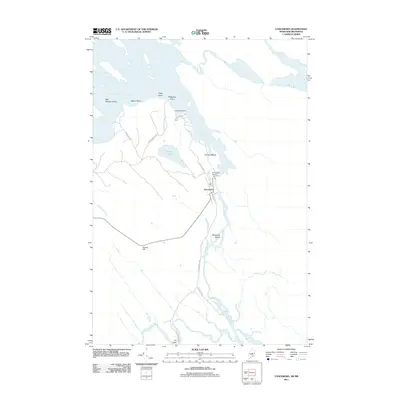
2011 Map of Vanceboro
USGS Topo · Published 2011About this map
Vanceboro sits at a critical hydrological juncture where the Saint Croix River serves as a geographic boundary, regulated by the Vanceboro Dam. This frontier landscape is defined by the winding river and its many tributaries, including Salmon Brook and Walker Brook, which carve through a terrain marked by distinctive glacial features like the prominent ridge of The Horseback. The area's character is deeply tied to these waterways, with numerous named points and islands such as Nason Point, Hedgehog Point, and Billy Semple Island indicating a long history of river-based navigation and local land ownership.
Find a feature on this map
23 named features on this map. Tap any name to fly to it.
Don’t see what you’re looking for? This feature index may not catch every label — zoom into the map to look around manually.
Map Details
Editions of this 2011 Vanceboro Map
This is the sole edition of this map. No revisions or reprints were ever made.
Other maps of this area

1930 · Vanceboro
USGS Topo · 1:48,000

1933 · Vanceboro
USGS Topo · 1:62,500

1940 · Waite
USGS Topo · 1:62,500

1940 · Forest
USGS Topo · 1:62,500

1940 · Kellyland
USGS Topo · 1:62,500

1942 · Kellyland
USGS Topo · 1:62,500

1942 · Waite
USGS Topo · 1:62,500

1942 · Forest
USGS Topo · 1:62,500

1957 · Fredericton
USGS Topo · 1:250,000

1963 · Fredericton
USGS Topo · 1:250,000