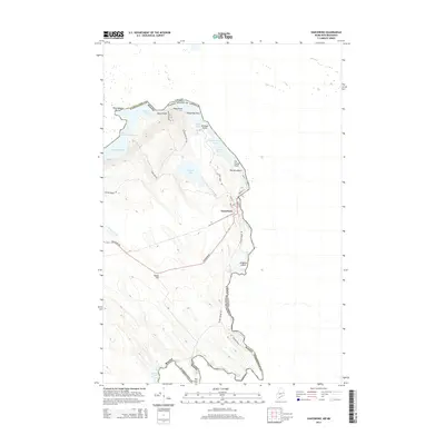
2014 Map of Vanceboro
USGS Topo · Published 2014About this map
Vanceboro stands at the international border, where the St. Croix River begins its southward journey from the Chiputneticook Lakes. This borderland landscape is defined by its complex hydrology, with the river descending through a series of technical water features including Salmon Brook Rips, Wingdam Rips, and Joe Georges Rips. The town site is bounded by the river to the east and the significant elevation of The Horseback to the north, which overlooks the waters of Spednic Lake. Local landmarks like Ice House Point and Billy Semple Island reflect the area's long history of lake and river use. Further south, the landscape transitions into the Grand Falls Flowage, punctuated by prominent heights such as Sussie Hill. The map meticulously details the road network serving this remote corner of Washington County, including Vanceboro Rd and Walker Brook Rd.
Find a feature on this map
39 named features on this map. Tap any name to fly to it.
Don’t see what you’re looking for? This feature index may not catch every label — zoom into the map to look around manually.
Map Details
Editions of this 2014 Vanceboro Map
This is the sole edition of this map. No revisions or reprints were ever made.
Other maps of this area

1930 · Vanceboro
USGS Topo · 1:48,000

1933 · Vanceboro
USGS Topo · 1:62,500

1940 · Waite
USGS Topo · 1:62,500

1940 · Forest
USGS Topo · 1:62,500

1940 · Kellyland
USGS Topo · 1:62,500

1942 · Kellyland
USGS Topo · 1:62,500

1942 · Waite
USGS Topo · 1:62,500

1942 · Forest
USGS Topo · 1:62,500

1957 · Fredericton
USGS Topo · 1:250,000

1963 · Fredericton
USGS Topo · 1:250,000