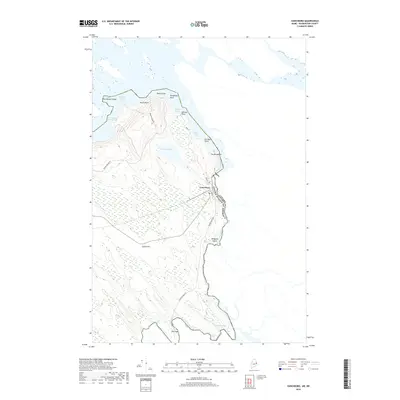
2018 Map of Vanceboro
USGS Topo · Published 2018About this map
Vanceboro sits along the international boundary between Maine and New Brunswick, defined here by the winding course of the St Croix River. This eastern borderland is characterized by a series of river rapids, or rips, including Windham Rips, Elbow Rips, and Joe Georges Rips, which trace the descent of the waterway as it flows toward American Cove. The local topography is dominated by glacial features such as The Horseback and Sussie Hill, while the settlement of The Cape marks a distinct bend in the river to the south.
Find a feature on this map
32 named features on this map. Tap any name to fly to it.
Don’t see what you’re looking for? This feature index may not catch every label — zoom into the map to look around manually.
Map Details
Editions of this 2018 Vanceboro Map
This is the sole edition of this map. No revisions or reprints were ever made.
Other maps of this area

1930 · Vanceboro
USGS Topo · 1:48,000

1933 · Vanceboro
USGS Topo · 1:62,500

1940 · Waite
USGS Topo · 1:62,500

1940 · Forest
USGS Topo · 1:62,500

1940 · Kellyland
USGS Topo · 1:62,500

1942 · Kellyland
USGS Topo · 1:62,500

1942 · Waite
USGS Topo · 1:62,500

1942 · Forest
USGS Topo · 1:62,500

1957 · Fredericton
USGS Topo · 1:250,000

1963 · Fredericton
USGS Topo · 1:250,000