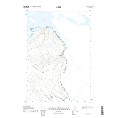
2021 Map of Vanceboro
USGS Topo · Published 2021About this map
Vanceboro stands as a pivotal border settlement on this northern frontier, situated where the St. Croix River forms the international boundary between the United States and Canada. The landscape is defined by its complex hydrology and glacial remnants, notably The Horseback ridge running adjacent to the river corridor. To the west, LaCoute Lake dominates the interior, surrounded by a network of family-named landmarks like Nason Point and Hedgehog Point. The river itself is a succession of technical water features, including Wingdam Rips, Elbow Rips, and Mile Rips, which trace the historical path of the regional logging and water-power economy. Local connectivity is maintained through rural routes such as Vanceboro Rd and Salmon Brook Rd, which navigate the elevation changes around Sussie Hill and provide access to remote reaches like The Cape.
Find a feature on this map
38 named features on this map. Tap any name to fly to it.
Don’t see what you’re looking for? This feature index may not catch every label — zoom into the map to look around manually.
Map Details
Editions of this 2021 Vanceboro Map
This is the sole edition of this map. No revisions or reprints were ever made.
Other maps of this area

1930 · Vanceboro
USGS Topo · 1:48,000

1933 · Vanceboro
USGS Topo · 1:62,500

1940 · Waite
USGS Topo · 1:62,500

1940 · Forest
USGS Topo · 1:62,500

1940 · Kellyland
USGS Topo · 1:62,500

1942 · Kellyland
USGS Topo · 1:62,500

1942 · Waite
USGS Topo · 1:62,500

1942 · Forest
USGS Topo · 1:62,500

1957 · Fredericton
USGS Topo · 1:250,000

1963 · Fredericton
USGS Topo · 1:250,000