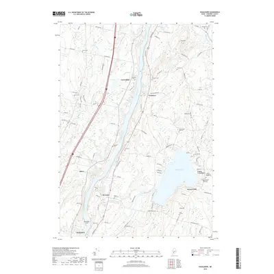
2018 Map of Vassalboro
USGS Topo · Published 2018About this map
The Kennebec River corridor defines this part of Maine, where the waterway separates the communities of Sidney and Riverside to the west from Vassalboro and North Sidney to the east. This 2018 survey reveals a landscape deeply rooted in its early settlement patterns, characterized by numerous small family and community burying grounds such as Springer Cem, Oak Grove Cem, and the Webber Pond Road Cem.
Find a feature on this map
95 named features on this map. Tap any name to fly to it.
Don’t see what you’re looking for? This feature index may not catch every label — zoom into the map to look around manually.
Map Details
Editions of this 2018 Vassalboro Map
This is the sole edition of this map. No revisions or reprints were ever made.
Other maps of this area

1892 · Waterville
USGS Topo · 1:62,500

1892 · Augusta
USGS Topo · 1:62,500

1893 · Vassalboro
USGS Topo · 1:62,500

1894 · Norridgewock
USGS Topo · 1:62,500

1898 · Norridgewock
USGS Topo · 1:62,500

1898 · Vassalboro
USGS Topo · 1:62,500

1941 · Vassalboro
USGS Topo · 1:62,500

1941 · Augusta
USGS Topo · 1:62,500

1943 · Augusta
USGS Topo · 1:62,500

1943 · Vassalboro
USGS Topo · 1:62,500