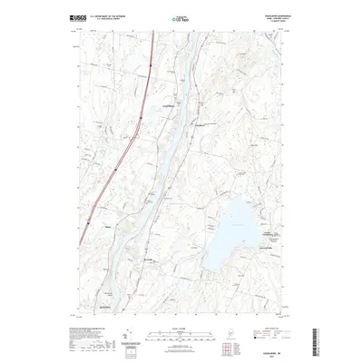
2021 Map of Vassalboro
USGS Topo · Published 2021About this map
The Kennebec River corridor defines the geography of this central Maine landscape, where agricultural history and riverside settlement intersect. This modern survey illustrates the enduring patterns of rural life across Vassalboro and Sidney, connected by a network of historic roads like Riverside Dr and Town Farm Rd. The area is particularly notable for its dense concentration of family and community burial grounds, such as the Smiley Farm Cem and Bangs Cem, which serve as vital markers of the region's genealogical heritage.
Find a feature on this map
104 named features on this map. Tap any name to fly to it.
Don’t see what you’re looking for? This feature index may not catch every label — zoom into the map to look around manually.
Map Details
Editions of this 2021 Vassalboro Map
This is the sole edition of this map. No revisions or reprints were ever made.
Other maps of this area

1892 · Waterville
USGS Topo · 1:62,500

1892 · Augusta
USGS Topo · 1:62,500

1893 · Vassalboro
USGS Topo · 1:62,500

1894 · Norridgewock
USGS Topo · 1:62,500

1898 · Norridgewock
USGS Topo · 1:62,500

1898 · Vassalboro
USGS Topo · 1:62,500

1941 · Vassalboro
USGS Topo · 1:62,500

1941 · Augusta
USGS Topo · 1:62,500

1943 · Augusta
USGS Topo · 1:62,500

1943 · Vassalboro
USGS Topo · 1:62,500