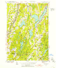
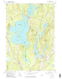
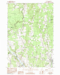
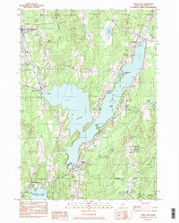
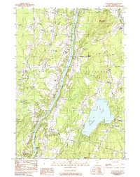
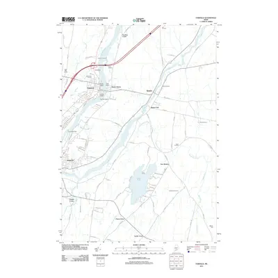
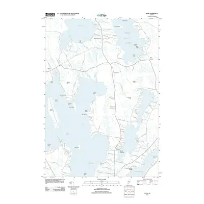
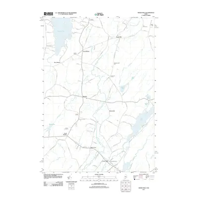
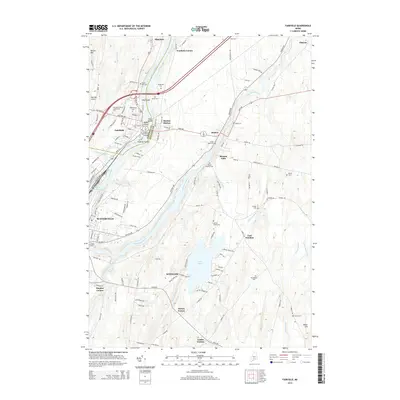
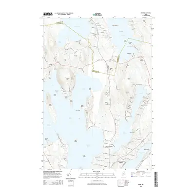
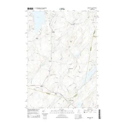
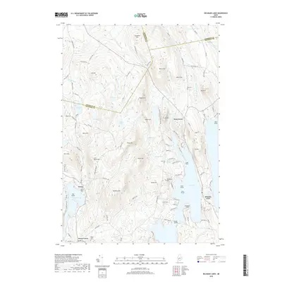
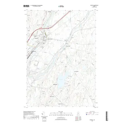
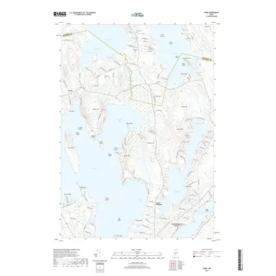
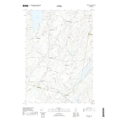
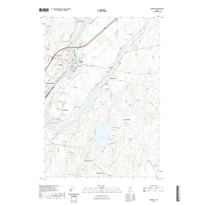
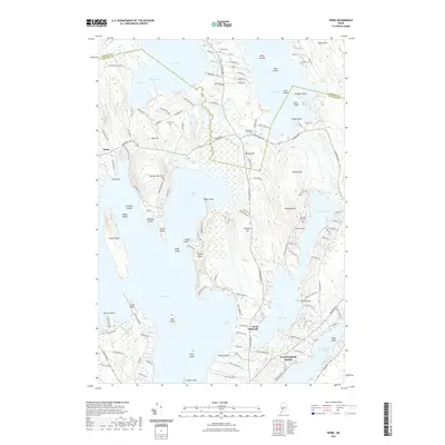
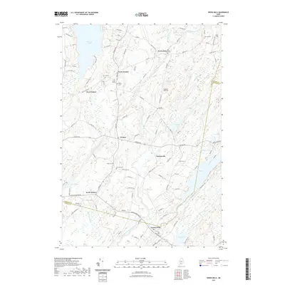
1941 Map of Vassalboro
USGS Topo · Published 1954About this map
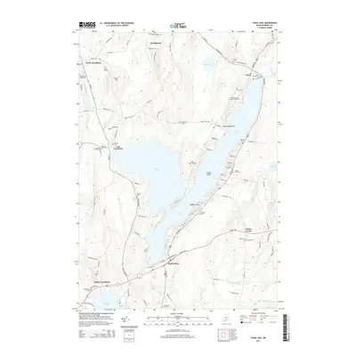
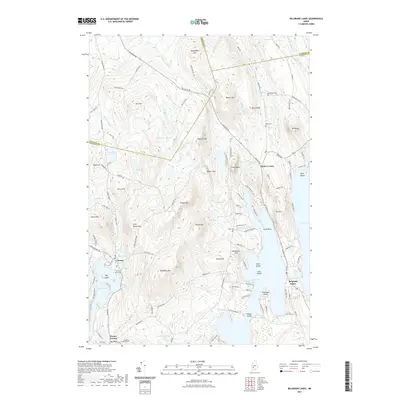
The Kennebec River corridor defines the western edge of this landscape, where the Central Maine Railroad tracks parallel the water, connecting settlements like Riverside and Vassalboro. This 1941 survey captures a rural Kennebec County interior defined by an extensive network of large freshwater bodies, most notably China Lake, Webber Pond, and Threemile Pond. These waters shaped the development of early mill sites and academic centers, including the Oak Grove Seminary overlooking the river and Erskine Academy near the village of South China.
Find a feature on this map
78 named features on this map. Tap any name to fly to it.
Don’t see what you’re looking for? This feature index may not catch every label — zoom into the map to look around manually.
Map Details
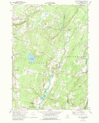
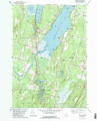
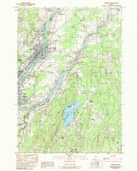
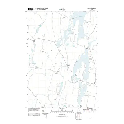
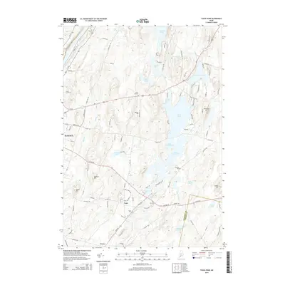
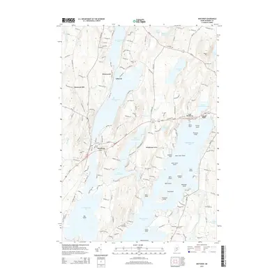
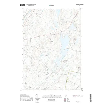
Editions of this 1941 Vassalboro Map
2 editions found

Historical Maps of Augusta Through Time
113 maps found
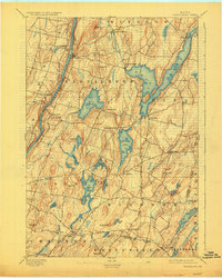
1893 Vassalboro
Kennebec County, ME

1898 Vassalboro
Kennebec County, ME
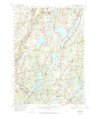
1941 Vassalboro
Kennebec County, ME

1943 Vassalboro
Kennebec County, ME
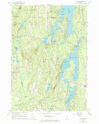
1956 Vassalboro
Kennebec County, ME
1966 Fayette
Kennebec County, ME
1966 Wayne
Kennebec County, ME
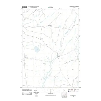
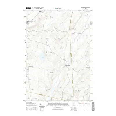
1970 East Pittston
Kennebec County, ME

1975 Burnham SW
Kennebec County, ME

1975 Norridgewock SE
Kennebec County, ME

1975 Norridgewock SW
Kennebec County, ME

1975 Vassalboro NE
Kennebec County, ME

1975 Vassalboro NW
Kennebec County, ME

1975 Vassalboro SE
Kennebec County, ME

1975 Vassalboro SW
Kennebec County, ME

1975 Waterville NE
Kennebec County, ME

1975 Waterville SE
Kennebec County, ME

1975 Waterville SW
Kennebec County, ME
1980 Belgrade
Kennebec County, ME

1980 Purgatory
Kennebec County, ME

1980 Readfield
Kennebec County, ME

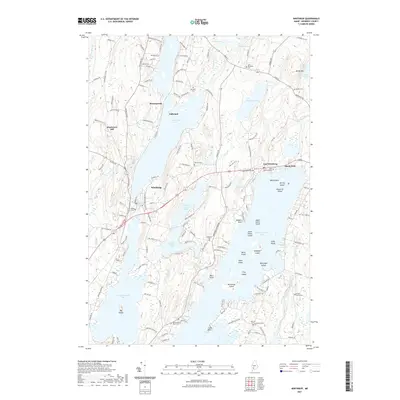
1980 Winthrop
Kennebec County, ME

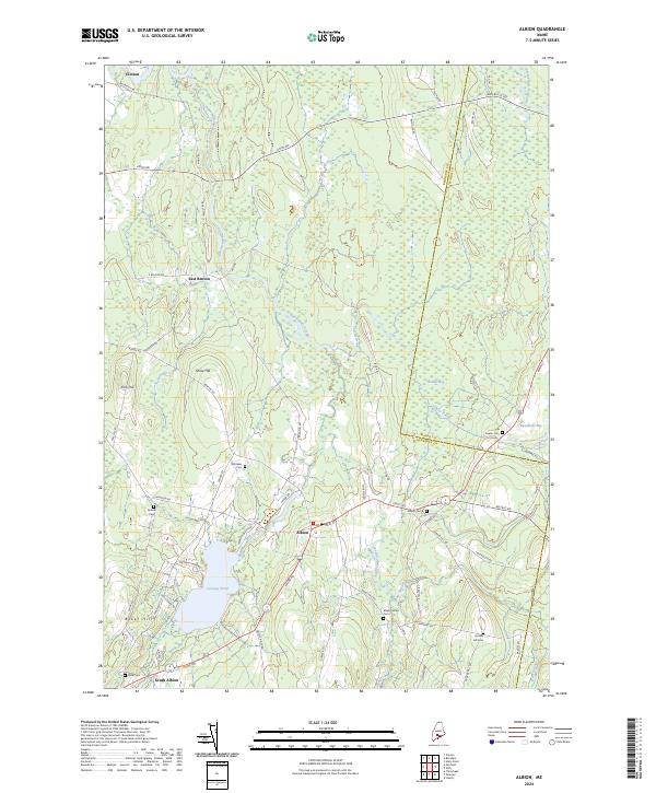
1982 Albion
Kennebec County, ME
1982 Belgrade Lakes
Kennebec County, ME
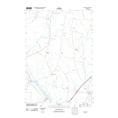
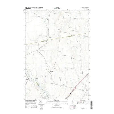
1982 Clinton
Kennebec County, ME
1982 Fairfield
Kennebec County, ME

1982 Rome
Kennebec County, ME
1982 Togus Pond
Kennebec County, ME
1982 Weeks Mills
Kennebec County, ME
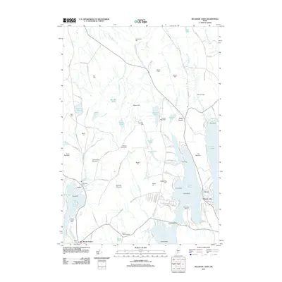
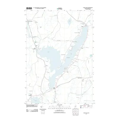
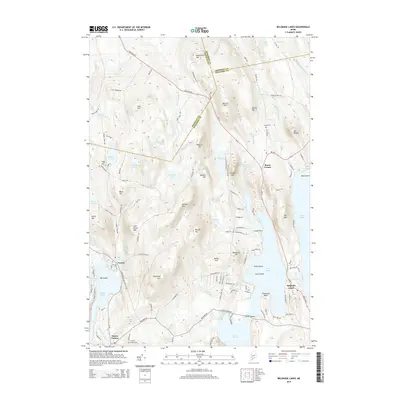
1983 China Lake
Kennebec County, ME
1983 Vassalboro
Kennebec County, ME

2000 Readfield
Kennebec County, ME

2000 Winthrop
Kennebec County, ME
2011 Albion
Kennebec County, ME
2011 Belgrade
Kennebec County, ME
2011 Belgrade Lakes
Kennebec County, ME
2011 China Lake
Kennebec County, ME
2011 Clinton
Kennebec County, ME
2011 East Pittston
Kennebec County, ME
2011 Fairfield
Kennebec County, ME
2011 Fayette
Kennebec County, ME
2011 Purgatory
Kennebec County, ME
2011 Readfield
Kennebec County, ME
2011 Rome
Kennebec County, ME
2011 Togus Pond
Kennebec County, ME
2011 Vassalboro
Kennebec County, ME
2011 Wayne
Kennebec County, ME
2011 Weeks Mills
Kennebec County, ME
2011 Winthrop
Kennebec County, ME
2014 Albion
Kennebec County, ME
2014 Belgrade
Kennebec County, ME
2014 Belgrade Lakes
Kennebec County, ME
2014 China Lake
Kennebec County, ME
2014 Clinton
Kennebec County, ME
2014 East Pittston
Kennebec County, ME
2014 Fairfield
Kennebec County, ME
2014 Fayette
Kennebec County, ME
2014 Purgatory
Kennebec County, ME
2014 Readfield
Kennebec County, ME
2014 Rome
Kennebec County, ME
2014 Togus Pond
Kennebec County, ME
2014 Vassalboro
Kennebec County, ME
2014 Wayne
Kennebec County, ME
2014 Weeks Mills
Kennebec County, ME
2014 Winthrop
Kennebec County, ME
2018 Albion
Kennebec County, ME
2018 Belgrade
Kennebec County, ME
2018 Belgrade Lakes
Kennebec County, ME
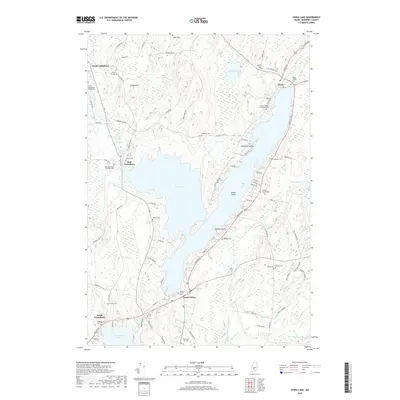
2018 China Lake
Kennebec County, ME
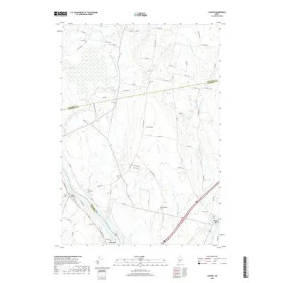
2018 Clinton
Kennebec County, ME
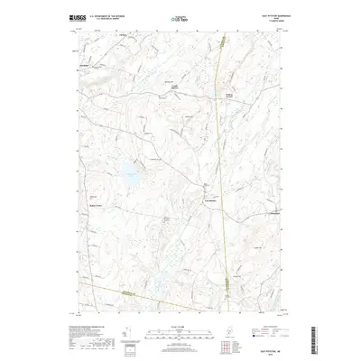
2018 East Pittston
Kennebec County, ME
2018 Fairfield
Kennebec County, ME
2018 Fayette
Kennebec County, ME
2018 Purgatory
Kennebec County, ME
2018 Readfield
Kennebec County, ME
2018 Rome
Kennebec County, ME
2018 Togus Pond
Kennebec County, ME
2018 Vassalboro
Kennebec County, ME
2018 Wayne
Kennebec County, ME
2018 Weeks Mills
Kennebec County, ME
2018 Winthrop
Kennebec County, ME
2021 Albion
Kennebec County, ME
2021 Belgrade
Kennebec County, ME
2021 Belgrade Lakes
Kennebec County, ME
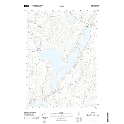
2021 China Lake
Kennebec County, ME
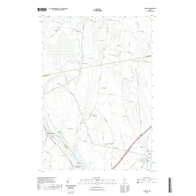
2021 Clinton
Kennebec County, ME
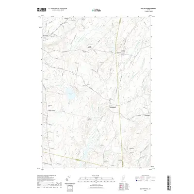
2021 East Pittston
Kennebec County, ME
2021 Fairfield
Kennebec County, ME
2021 Fayette
Kennebec County, ME
2021 Purgatory
Kennebec County, ME
2021 Readfield
Kennebec County, ME
2021 Rome
Kennebec County, ME
2021 Togus Pond
Kennebec County, ME
2021 Vassalboro
Kennebec County, ME
2021 Wayne
Kennebec County, ME
2021 Weeks Mills
Kennebec County, ME
2021 Winthrop
Kennebec County, ME
2024 Albion
Kennebec County, ME
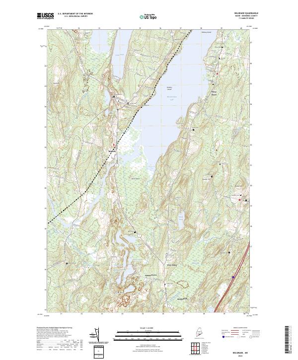
2024 Belgrade
Kennebec County, ME
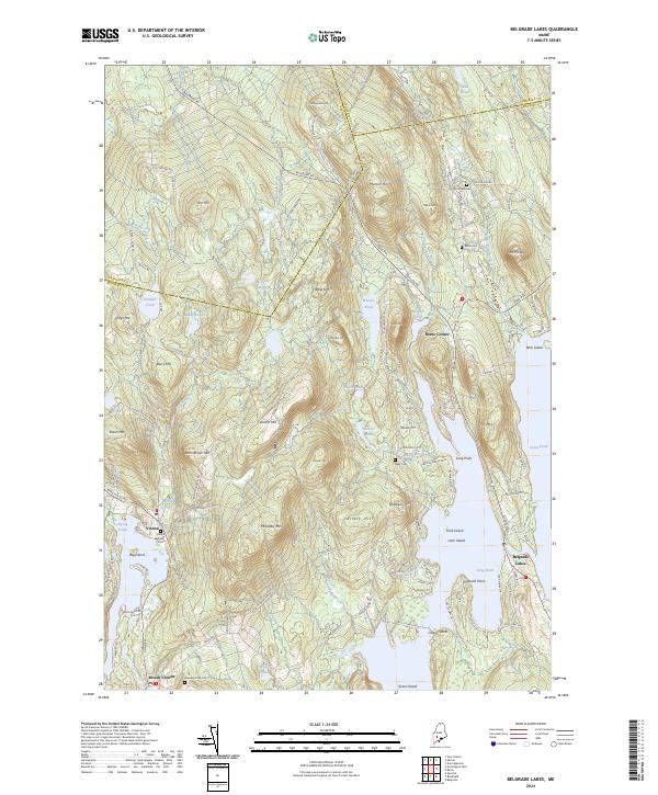
2024 Belgrade Lakes
Kennebec County, ME
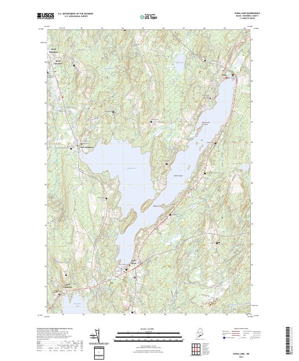
2024 China Lake
Kennebec County, ME
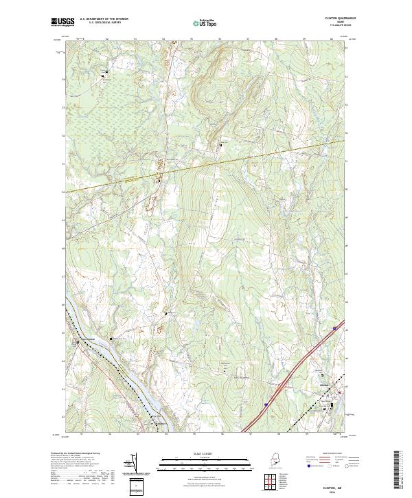
2024 Clinton
Kennebec County, ME
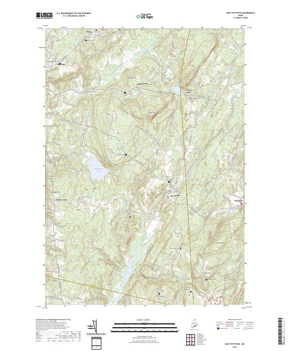
2024 East Pittston
Kennebec County, ME
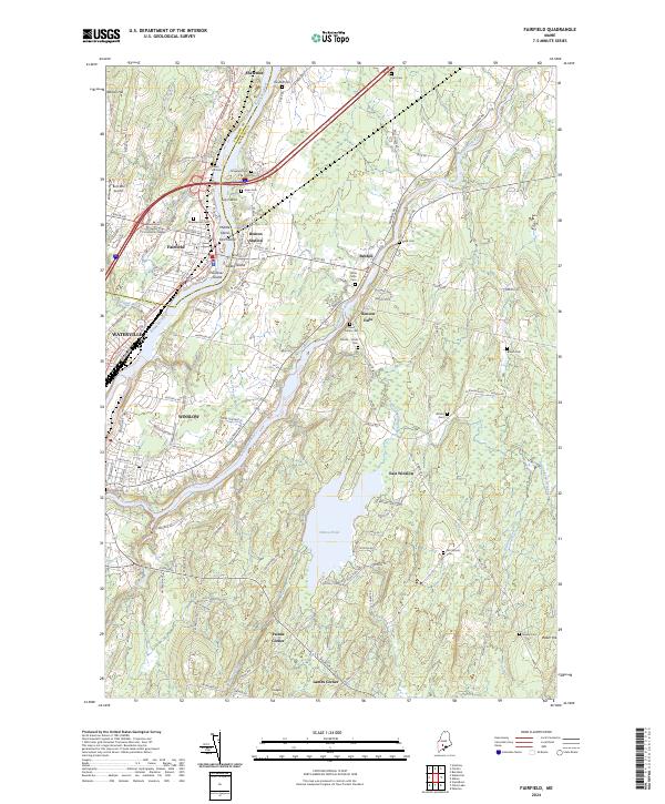
2024 Fairfield
Kennebec County, ME
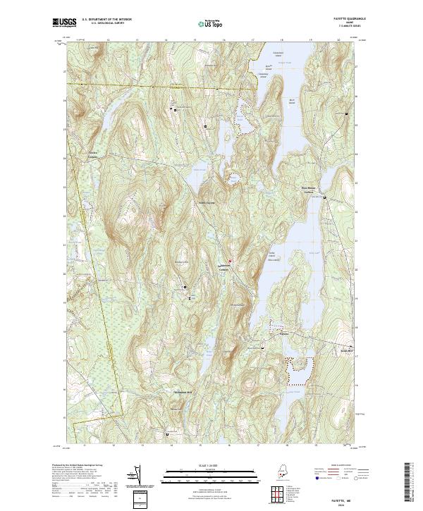
2024 Fayette
Kennebec County, ME
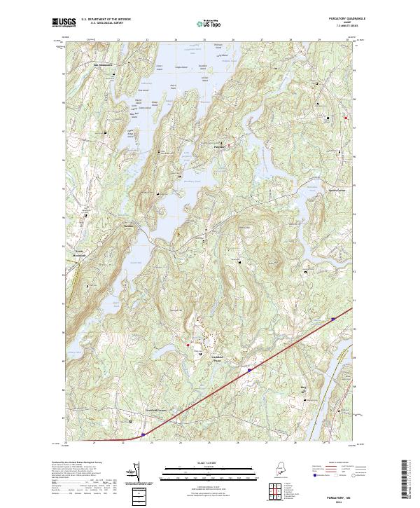
2024 Purgatory
Kennebec County, ME
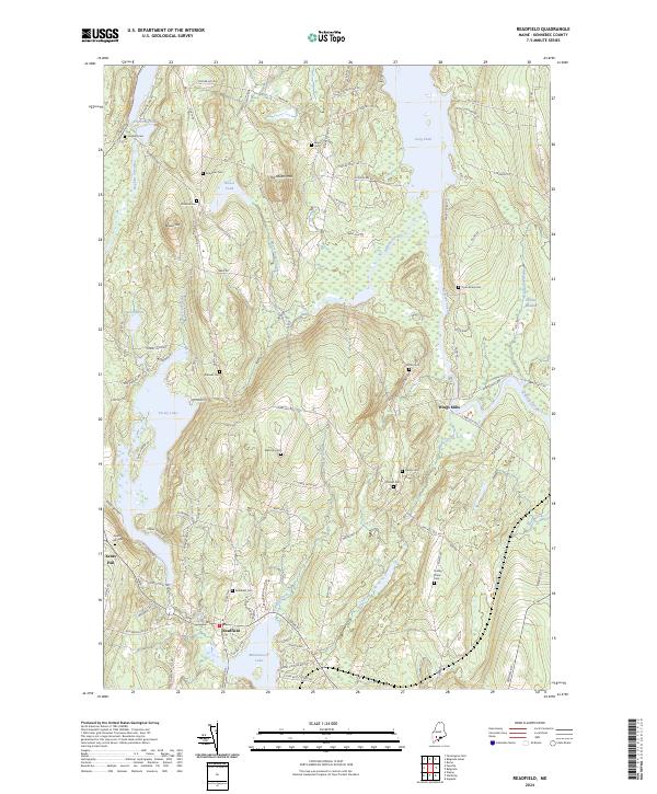
2024 Readfield
Kennebec County, ME
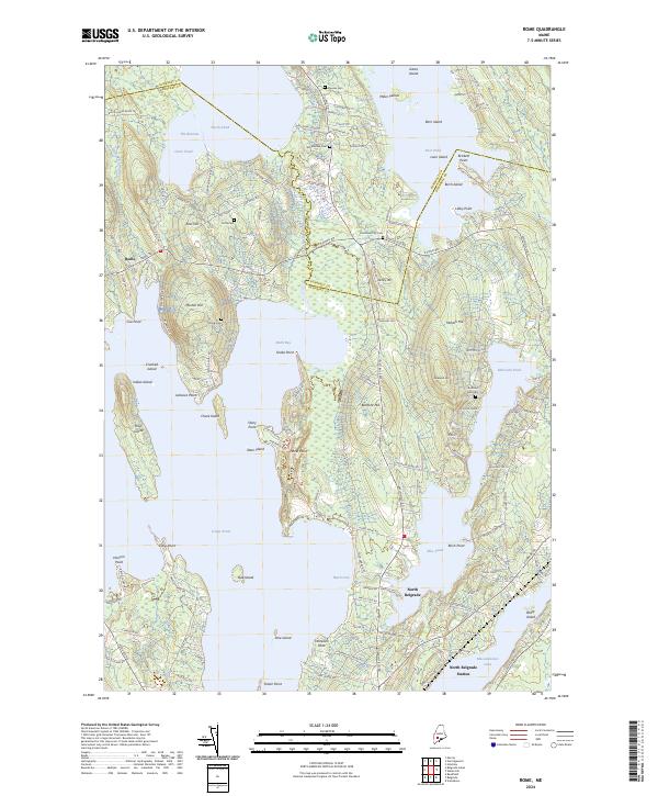
2024 Rome
Kennebec County, ME

2024 Togus Pond
Kennebec County, ME
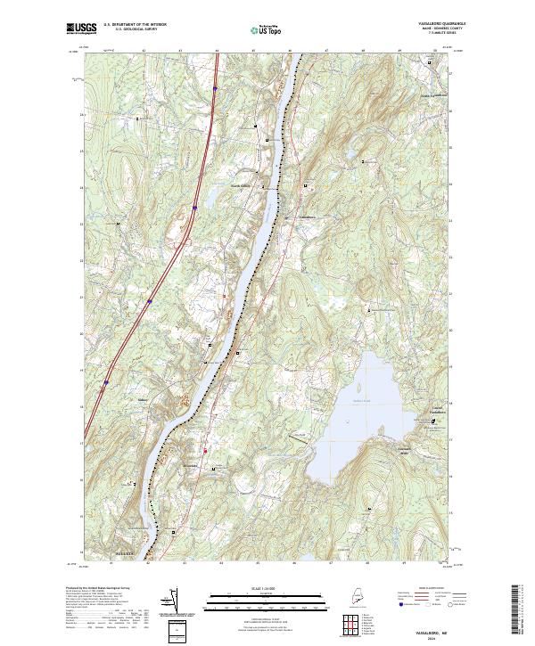
2024 Vassalboro
Kennebec County, ME
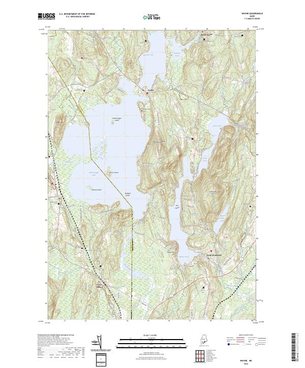
2024 Wayne
Kennebec County, ME

2024 Weeks Mills
Kennebec County, ME
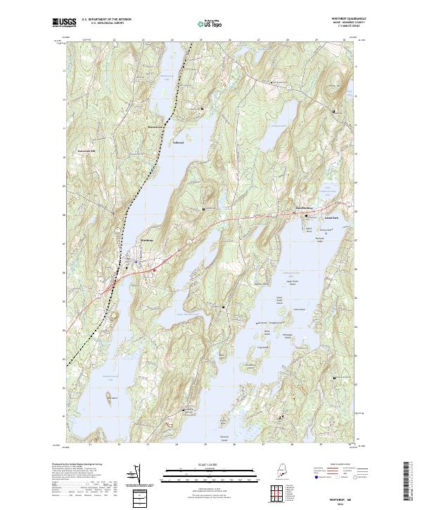
2024 Winthrop
Kennebec County, ME