
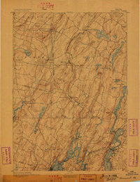
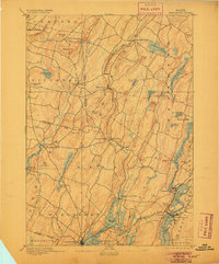
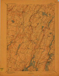
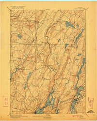
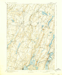
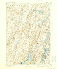
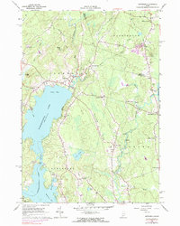
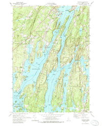
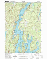
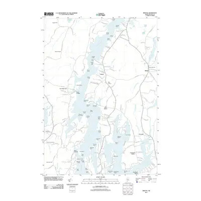
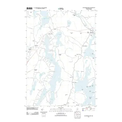
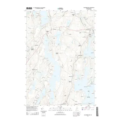
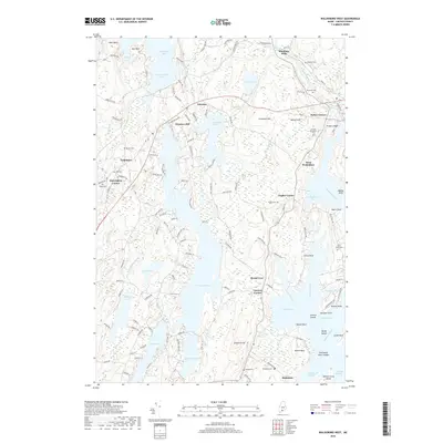
1893 Map of Wiscasset
USGS Topo · Published 1893About this map
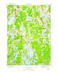
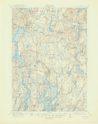
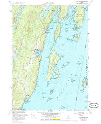
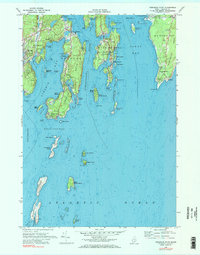
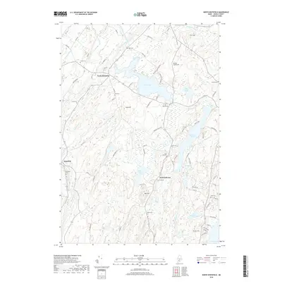
Wiscasset serves as the focal point for this late nineteenth-century coastal landscape, where the Sheepscot River and Damariscotta River define the intricate geography of Lincoln County. The Maine Central Railroad runs through the southern reaches, connecting Newcastle and Damariscotta to the coastal trade. Inland, the terrain is a series of ridges and valleys hosting small mill towns and agricultural settlements like Dresden Mills and Head Tide.
Find a feature on this map
71 named features on this map. Tap any name to fly to it.
Don’t see what you’re looking for? This feature index may not catch every label — zoom into the map to look around manually.
Map Details
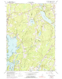
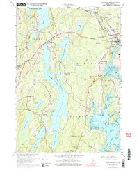
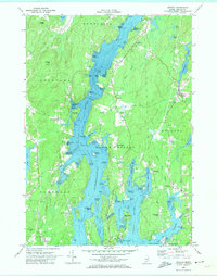
Editions of this 1893 Wiscasset Map
7 editions found
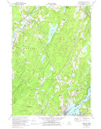
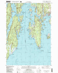
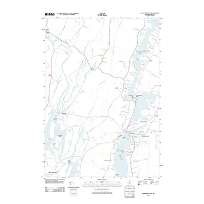
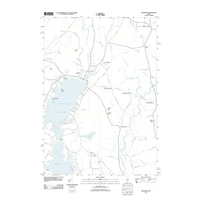
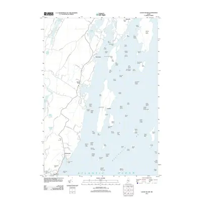
Historical Maps of Wiscasset Through Time
92 maps found
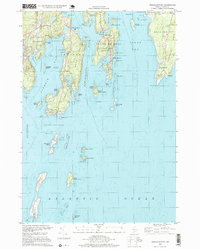
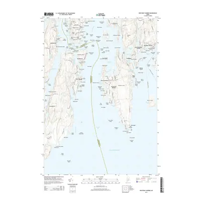
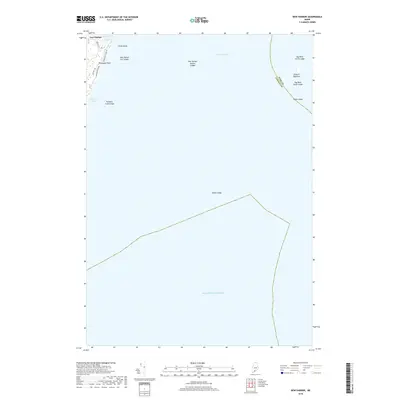
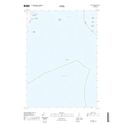
1893 Boothbay
Lincoln County, ME
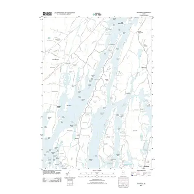
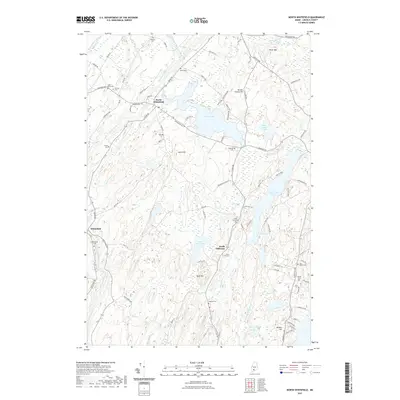
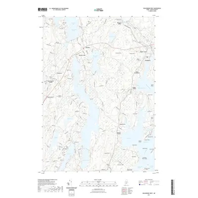
1893 Wiscasset
Lincoln County, ME

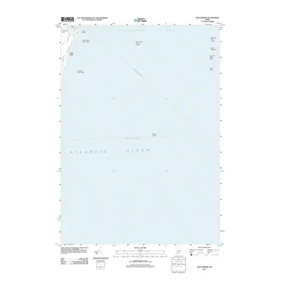
1904 Monhegan
Lincoln County, ME
1906 Monhegan
Lincoln County, ME
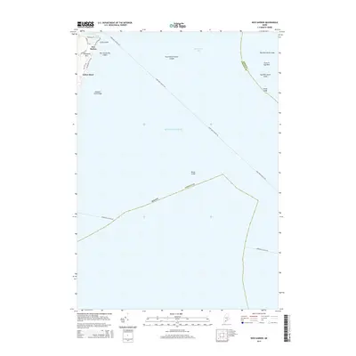
1913 Waldoboro
Lincoln County, ME
1915 Waldoboro
Lincoln County, ME

1941 Boothbay
Lincoln County, ME

1941 Waldoboro
Lincoln County, ME

1943 Boothbay
Lincoln County, ME
1944 Boothbay
Lincoln County, ME
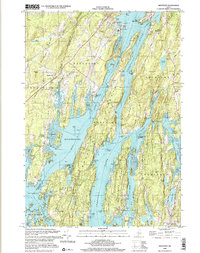
1944 Wiscasset
Lincoln County, ME

1950 Waldoboro
Lincoln County, ME
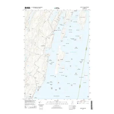
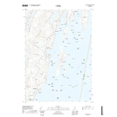
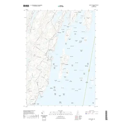
1955 Louds Island
Lincoln County, ME
1955 New Harbor
Lincoln County, ME
1957 Boothbay
Lincoln County, ME
1957 Wiscasset
Lincoln County, ME
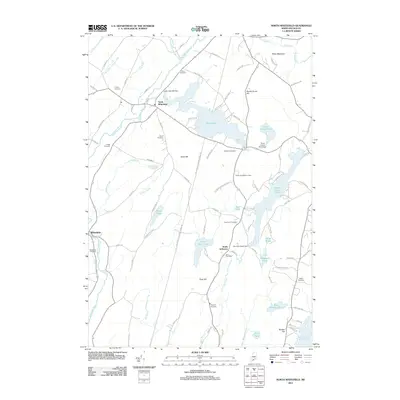
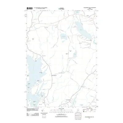
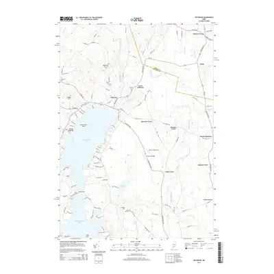
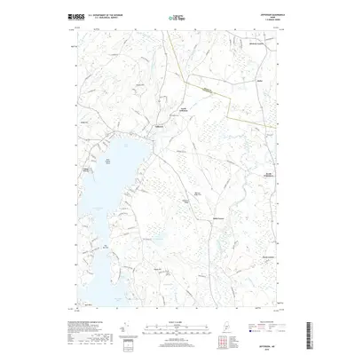
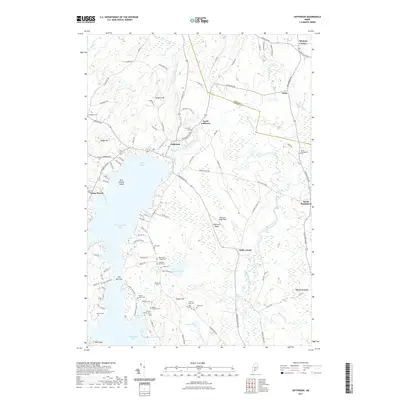
1965 Jefferson
Lincoln County, ME
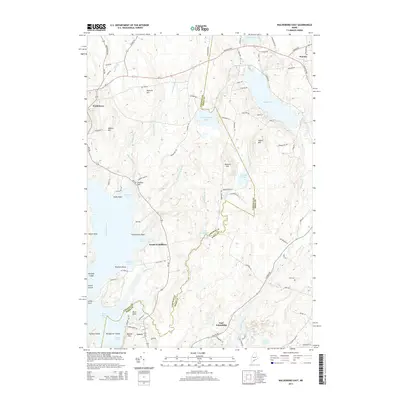
1965 Waldoboro East
Lincoln County, ME
1965 Waldoboro West
Lincoln County, ME
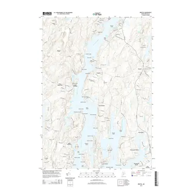
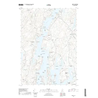
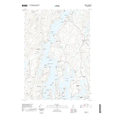
1969 Bristol
Lincoln County, ME
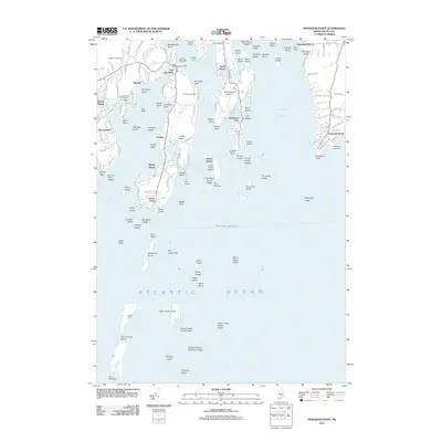
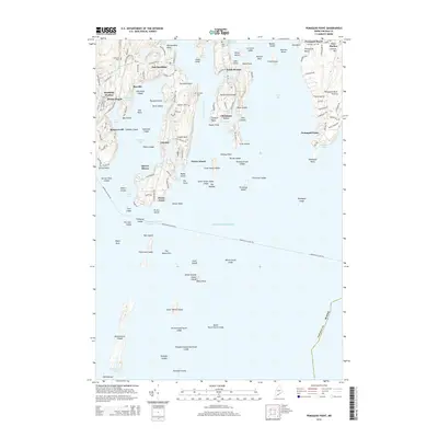
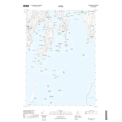
1969 Pemaquid Point
Lincoln County, ME
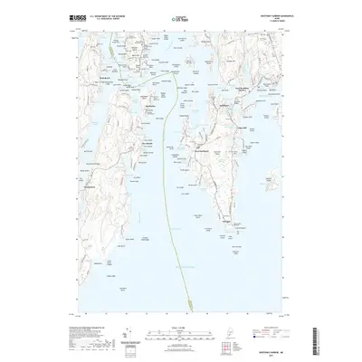
1970 Boothbay Harbor
Lincoln County, ME
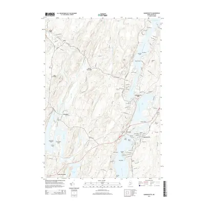
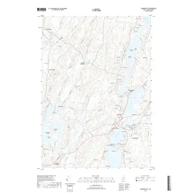
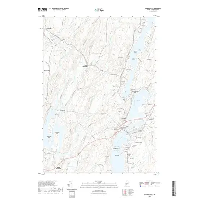
1970 Damariscotta
Lincoln County, ME
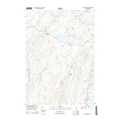
1970 North Whitefied
Lincoln County, ME
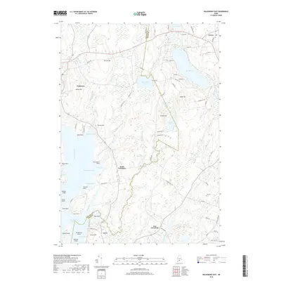
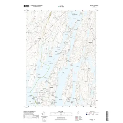
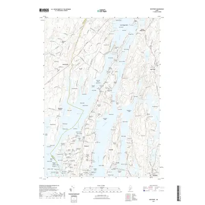
1970 Westport
Lincoln County, ME
1970 Wiscasset
Lincoln County, ME
1973 New Harbor
Lincoln County, ME
1997 Boothbay Harbor
Lincoln County, ME
1997 Pemaquid Point
Lincoln County, ME
2000 Bristol
Lincoln County, ME

2000 Damariscotta
Lincoln County, ME
2000 Westport
Lincoln County, ME
2011 Boothbay Harbor
Lincoln County, ME
2011 Bristol
Lincoln County, ME
2011 Damariscotta
Lincoln County, ME
2011 Jefferson
Lincoln County, ME
2011 Louds Island
Lincoln County, ME
2011 New Harbor
Lincoln County, ME
2011 North Whitefield
Lincoln County, ME
2011 Pemaquid Point
Lincoln County, ME
2011 Waldoboro East
Lincoln County, ME
2011 Waldoboro West
Lincoln County, ME
2011 Westport
Lincoln County, ME
2011 Wiscasset
Lincoln County, ME
2014 Boothbay Harbor
Lincoln County, ME
2014 Bristol
Lincoln County, ME
2014 Damariscotta
Lincoln County, ME
2014 Jefferson
Lincoln County, ME
2014 Louds Island
Lincoln County, ME
2014 New Harbor
Lincoln County, ME
2014 North Whitefield
Lincoln County, ME
2014 Pemaquid Point
Lincoln County, ME
2014 Waldoboro East
Lincoln County, ME
2014 Waldoboro West
Lincoln County, ME
2014 Westport
Lincoln County, ME
2014 Wiscasset
Lincoln County, ME
2018 Boothbay Harbor
Lincoln County, ME
2018 Bristol
Lincoln County, ME
2018 Damariscotta
Lincoln County, ME
2018 Jefferson
Lincoln County, ME
2018 Louds Island
Lincoln County, ME
2018 New Harbor
Lincoln County, ME
2018 North Whitefield
Lincoln County, ME
2018 Pemaquid Point
Lincoln County, ME
2018 Waldoboro East
Lincoln County, ME
2018 Waldoboro West
Lincoln County, ME
2018 Westport
Lincoln County, ME
2018 Wiscasset
Lincoln County, ME
2021 Boothbay Harbor
Lincoln County, ME
2021 Bristol
Lincoln County, ME
2021 Damariscotta
Lincoln County, ME
2021 Jefferson
Lincoln County, ME
2021 Louds Island
Lincoln County, ME
2021 New Harbor
Lincoln County, ME
2021 North Whitefield
Lincoln County, ME
2021 Pemaquid Point
Lincoln County, ME
2021 Waldoboro East
Lincoln County, ME
2021 Waldoboro West
Lincoln County, ME
2021 Westport
Lincoln County, ME
2021 Wiscasset
Lincoln County, ME
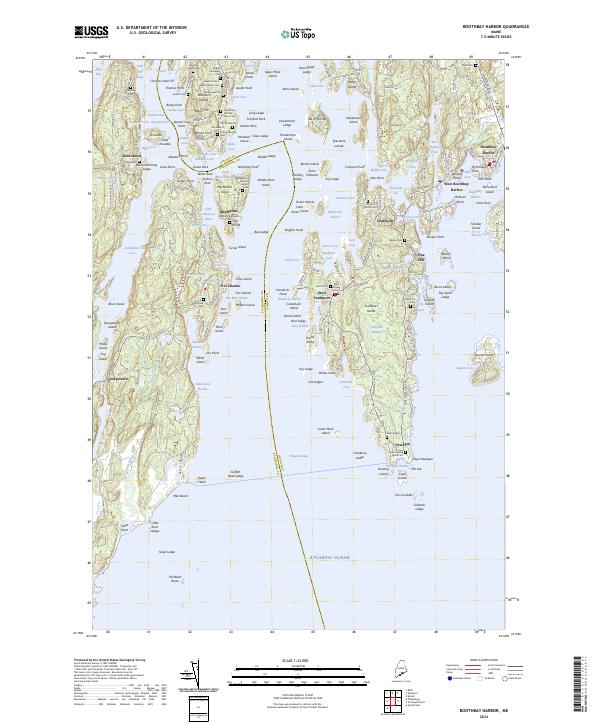
2024 Boothbay Harbor
Lincoln County, ME
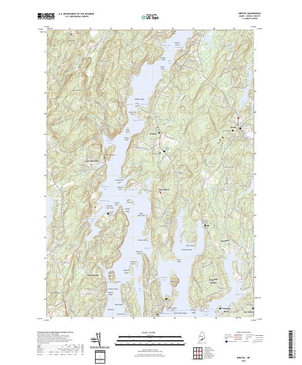
2024 Bristol
Lincoln County, ME
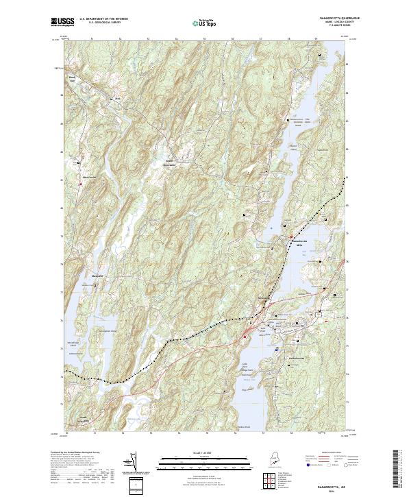
2024 Damariscotta
Lincoln County, ME
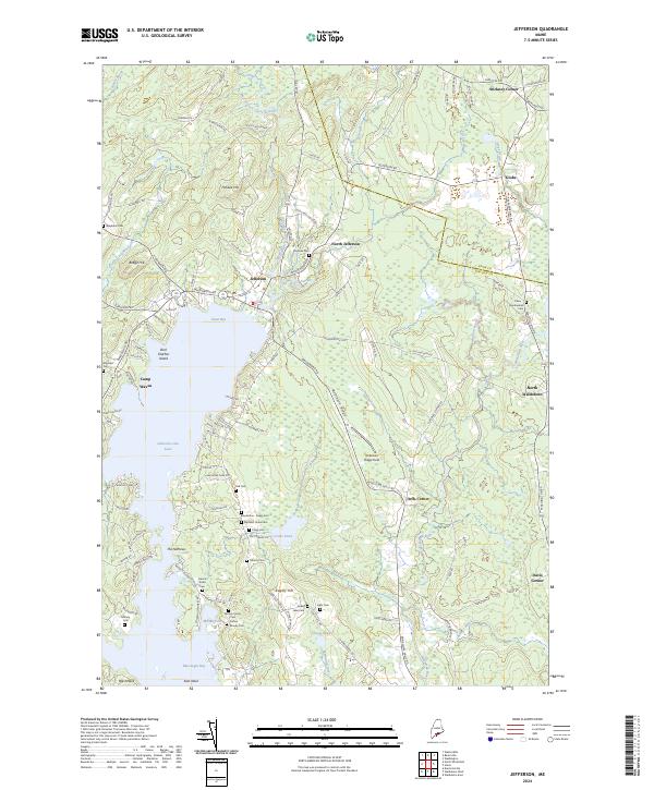
2024 Jefferson
Lincoln County, ME
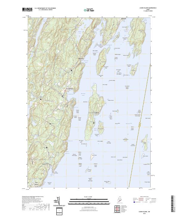
2024 Louds Island
Lincoln County, ME
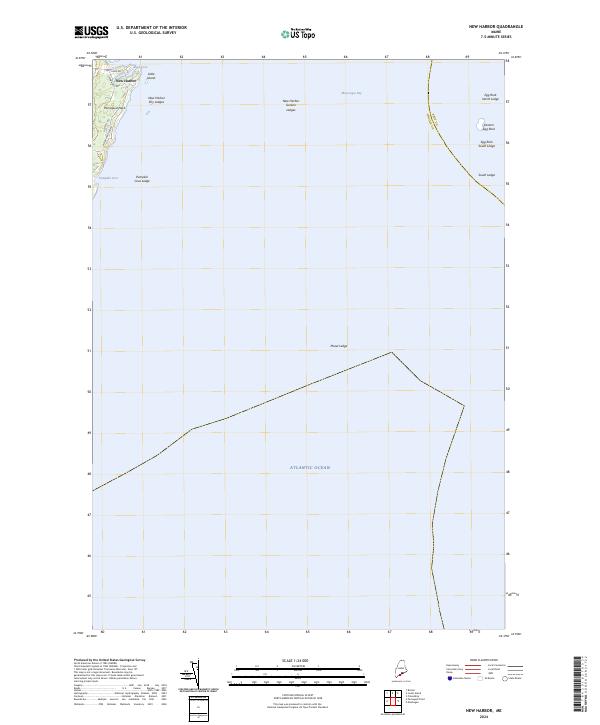
2024 New Harbor
Lincoln County, ME
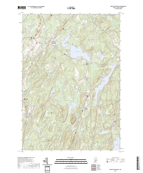
2024 North Whitefield
Lincoln County, ME
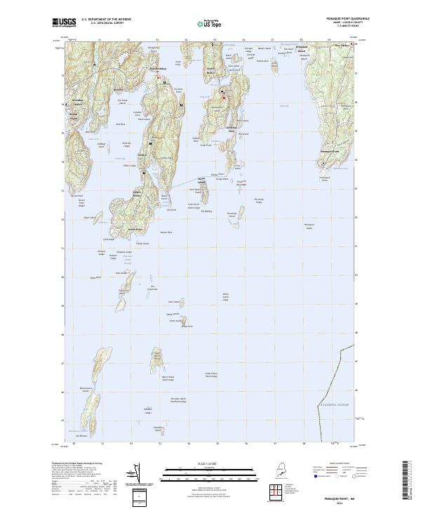
2024 Pemaquid Point
Lincoln County, ME
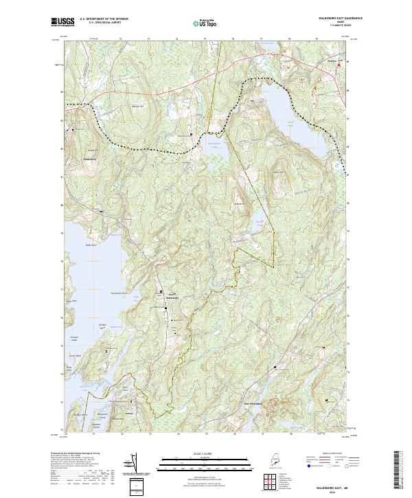
2024 Waldoboro East
Lincoln County, ME
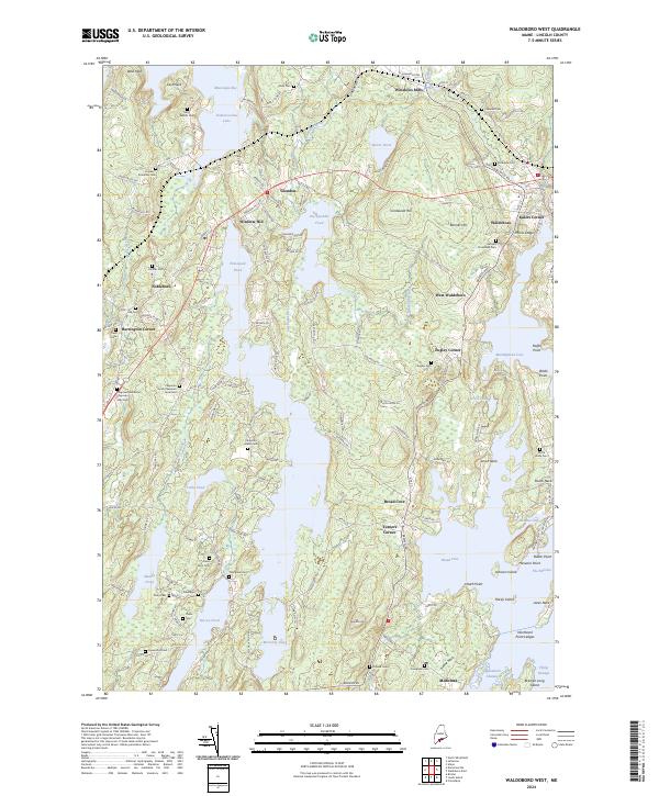
2024 Waldoboro West
Lincoln County, ME
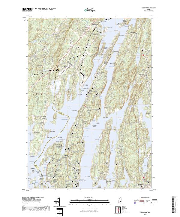
2024 Westport
Lincoln County, ME
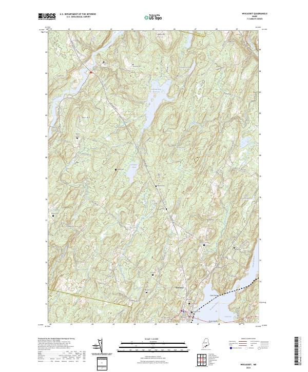
2024 Wiscasset
Lincoln County, ME