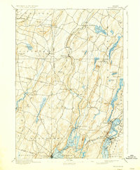
1893 Map of Wiscasset
USGS Topo · Published 1935About this map
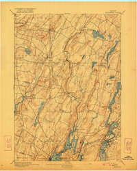
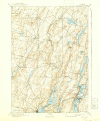
The Sheepscot River and its associated tidal estuaries dominate this mid-coast Maine landscape, serving as the primary axis for settlement and early industry. By the late nineteenth century, the Maine Central Railroad and the Penobscot Shore Line linked the maritime hubs of Wiscasset, Newcastle, and Damariscotta, facilitating trade in a region defined by its narrow river valleys and numerous glacial water bodies. The map reveals a dense network of upland farms and hill-top landmarks such as Telegraph Hill and Williams Hill, while the lower elevations are marked by manufacturing hamlets like Damariscotta Mills and Dresden Mills. Local genealogists can trace family holdings across several town boundaries, including Pittston, Alna, and Edgecombe, where the terrain transitions from the rocky coastline of Huston Cove to the interior ridges of Joy Ridge.
Find a feature on this map
74 named features on this map. Tap any name to fly to it.
Don’t see what you’re looking for? This feature index may not catch every label — zoom into the map to look around manually.
Map Details
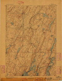
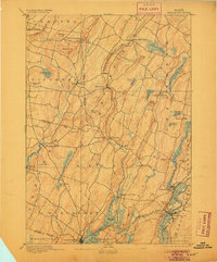
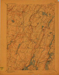
Editions of this 1893 Wiscasset Map
7 editions found
Other maps of this area

1892 · Gardiner
USGS Topo · 1:62,500

1892 · Augusta
USGS Topo · 1:62,500

1893 · Vassalboro
USGS Topo · 1:62,500

1893 · Wiscasset
USGS Topo · 1:62,500

1893 · Boothbay
USGS Topo · 1:62,500

1894 · Bath
USGS Topo · 1:62,500

1898 · Vassalboro
USGS Topo · 1:62,500

1904 · Monhegan
USGS Topo · 1:62,500

1906 · Monhegan
USGS Topo · 1:62,500

1913 · Waldoboro
USGS Topo · 1:48,000