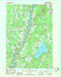
1983 Map of Vassalboro
USGS Topo · Published 1983About this map
The Kennebec River carves a central path through this early 1980s landscape, serving as a primary corridor for both the Maine Central railroad and the historical settlements of Riverside and Vassalboro. The map documents a classic New England river valley economy, where inland water bodies like Webber Pond and Spectacle Pond are surrounded by a dense network of family-named cemeteries such as Bowman Cem, Springer Cem, and Sibley Cem. These sites, alongside local institutions like the Oak Grove-Coburn Sch, provide a clear view of the established social fabric in Kennebec County.
Find a feature on this map
48 named features on this map. Tap any name to fly to it.
Don’t see what you’re looking for? This feature index may not catch every label — zoom into the map to look around manually.
Map Details
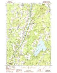
Editions of this 1983 Vassalboro Map
2 editions found
Other maps of this area

1892 · Waterville
USGS Topo · 1:62,500

1892 · Augusta
USGS Topo · 1:62,500

1893 · Vassalboro
USGS Topo · 1:62,500

1894 · Norridgewock
USGS Topo · 1:62,500

1898 · Norridgewock
USGS Topo · 1:62,500

1898 · Vassalboro
USGS Topo · 1:62,500

1941 · Vassalboro
USGS Topo · 1:62,500

1941 · Augusta
USGS Topo · 1:62,500

1943 · Augusta
USGS Topo · 1:62,500

1943 · Vassalboro
USGS Topo · 1:62,500