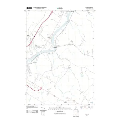
2011 Map of Veazie
USGS Topo · Published 2011About this map
The Penobscot River serves as the central artery for this Penobscot County region, separating the industrial and residential pockets of Veazie from the rural character of Eddington. The river's importance to the local economy and infrastructure is evidenced by the Veazie Dam and the Orono Waterworks Dam to the north. For genealogists and local historians, this map is particularly dense with burial sites, showing a significant cluster of religious and community grounds such as Mount Hope Cemetery, Beth Abraham Cemetery, and the Congregation Beth Israel Cemetery.
Find a feature on this map
102 named features on this map. Tap any name to fly to it.
Don’t see what you’re looking for? This feature index may not catch every label — zoom into the map to look around manually.
Map Details
Editions of this 2011 Veazie Map
This is the sole edition of this map. No revisions or reprints were ever made.
Other maps of this area

1900 · Orland
USGS Topo · 1:62,500

1900 · Bucksport
USGS Topo · 1:62,500

1902 · Orono
USGS Topo · 1:62,500

1902 · Bucksport
USGS Topo · 1:62,500

1902 · Bangor
USGS Topo · 1:62,500

1942 · Orland
USGS Topo · 1:62,500

1942 · Bangor
USGS Topo · 1:62,500

1942 · Bucksport
USGS Topo · 1:62,500

1944 · Orono
USGS Topo · 1:62,500

1946 · Bangor
USGS Topo · 1:62,500