
1929 Map of Vejor
USGS Topo · Published 1929About this map
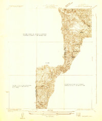
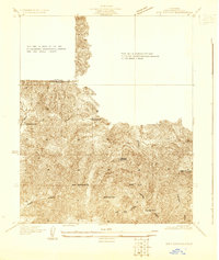
Santa Monica Mountains and the rolling terrain of Las Virgenes dominate this 1929 topography, showing a landscape on the cusp of suburban expansion. The era's development is centered on small settlements and leisure destinations, most notably the Malibu Lake Country Club situated near the waters of Malibu Lake. The map details the early transportation network of western Los Angeles County, following the path of Ventura Boulevard as it passes through Malibu Junction, Picture City, and Liberty.
Find a feature on this map
19 named features on this map. Tap any name to fly to it.
Don’t see what you’re looking for? This feature index may not catch every label — zoom into the map to look around manually.
Map Details
Editions of this 1929 Vejor Map
This is the sole edition of this map. No revisions or reprints were ever made.
Other maps of this area

1900 · Triunfo Pass
USGS Topo · 1:62,500

1903 · Calabasas
USGS Topo · 1:62,500

1903 · Camulos
USGS Topo · 1:125,000

1921 · Triunfo Pass
USGS Topo · 1:62,500

1925 · Chatsworth
USGS Topo · 1:24,000

1927 · Chatsworth
USGS Topo · 1:24,000

1928 · Dry Canyon
USGS Topo · 1:24,000
1929 · Chatsworth
USGS Topo · 1:24,000

1929 · Dume Point
USGS Topo · 1:24,000
1929 · Dry Canyon
USGS Topo · 1:24,000